Category: 2017 Northwestern Canada

  • Eagle Plains, YT to Dawson City, YT

    Today was our very last day on the Dempster Highway with 369 kms of sometimes rough and challenging gravel road remaining. We stopped at the same lunch spot we had visited on the way up, and to photograph the area of the June/July forest fires again. There were still some areas that were smouldering and we could see and smell the smoke.

    At one point we had to stop for a very cute reason.

    We made it to the end without any flat tires but a very mudding vehicle.

    Off to the car wash we went!

    We’re back at the Gold Rush Campground for the evening before departing for Alaska tomorrow via the Top Of The World Highway. This will get us back to the Alaska Highway and Whitehorse for our trip back.

  • Whitehorse, YT

    The scones from Johnston’s Crossing were great!

    We drove to Integra Tire to get our valve stem replaced again with one compatible with the tire pressure monitoring system. This was done quickly while we waited. We met a German couple who had rented a car in Vancouver and had driven it up the Dempster Highway with four kayaks on the roof. On the way they had shredded two tires and possibly wrecked a wheel bearing. We’re sure the rental car company is eager to get their car back before it gets trashed anymore. The nerve of some people.

    The rest of the day was spent touring Whitehorse. We started at the Visitor Reception Centre where we got our Yukon passports stamped and lots more information on the Dempster Highway trip and options to get to Tuktoyaktuk. An extension of the Dempster from Inuvik to Tuktoyaktuk is set to open in September but unfortunately won’t be done before we get there. There are options to fly and do a day trip. Hopefully this will work out for us.

    We visited the White Pass and Yukon Route Depot, the Whitehorse end of the former narrow gauge railway that ran to Skagway and dates back to the Gold Rush time. These days one can take a tour by bus to Fraser, BC and then the train to Skagway.

    After this we visited the MacBride Museum of Yukon History. Here we learned about some of the colourful characters that were part of the Yukon’s history, saw some more animals, beautiful native craftsmanship, and really enjoyed a special photographic exhibit on the the building of the Alaska Highway which celebrates its 75th anniversary this year.

    Tired from walking we enjoyed a rest at a local coffee shop, sitting outside in the warm sun.

    On our way back to our campground we briefly visited the S.S. Klondike, a stern wheeler that had transported goods and passengers along the Yukon River between 1937 and 1955. The S.S. Klondike was restored in 2005 and is now a museum.

  • Teslin, YT to Whitehorse, YT

    After breakfast we went to the Yukon Wildlife gallery adjacent our campground. They have a wonderful display of taxidermied animals in recreated natural habitat scenes.

    Next we wanted to visit the George Johnston Museum with its photo gallery of Tlingit life from the 1920s to 1940s. Unfortunately a power failure at the gallery meant it was closed.

    We returned to the Tlingit Heritage Centre and talked to a few of the workshop leaders about traditional crafts and smoking salmon.

    It was now time to continue our drive to Whitehorse but we had to stop at the Johnson’s Crossing Lodge and RV Park to taste their famous cinnamon buns made from the original 1949 recipe. Their scones also looked good so two of them joined us on our trip and will be breakfast tomorrow.

    We made it to the Caribou RV Park just outside of Whitehorse were we will be spending two nights. They have an outhouse with a with an interesting and amusing sign on the door.

    Right next door is the Wolf’s Den restaurant which has Swiss specialities. We couldn’t resist and enjoyed a delicious cheese fondue (although Martin’s homemade one is still much better).

  • Watson Lake, YT to Teslin, YT

    Our morning in Watson Lake ended up a bit different than expected. As planned, we visited the Sign Post Forest with around 85,000 signs. The sign forest began in 1942 when a U.S. Army soldier from Danville, Illinois named Carl K. Lindley was injured and was asked to repaint a sign that had been damaged by a bulldozer. He asked whether he could add a sign indicating the distance to his hometown and ever since people from all over the world have been adding their own signs.

    The nearby Alaska Highway Interpretive Centre was our next stop and we learned a great deal about how the 1523 mile highway was built in just 8 months and 12 days!

    We spoke to the tourist information agents and got a number of new brochures and information about our upcoming Dempster Highway trip. Now we were really excited about this segment of the trip.

    Our next destination was the Watson Lake Airport to learn about the U.S. – Russia Lend-Lease program where the U.S. lent aircraft and other machinery to Russia during the second world war. The information panels and images also showed the network of airports used to ferry the aircraft to Russia. A large, now seemingly empty, former military hanger can still be seen.

    When we were ready to leave we had a bit of a surprise – the information panel in the van’s dash showed that the right rear tire was low in pressure. We hurried back to Watson Lake to a tire repair shop and they discovered that the valve stem was leaking. Fortunately they were able to fix it, although they didn’t have any stems compatible with the tire pressure monitoring system. The owner told us that a shop in Whitehorse would be able to replace the valve again with one that was compatible.

    On our way to Teslin we stopped at the famous Rancheria Restaurant that was already mentioned in the 1949 edition of the Milepost. Here we had apple pie and talked in great length with the Kim, the daughter of the owner. Kim is a teacher and lives in BC now.

    A little further up the road we saw a wolf walking in the bushes by the side of the road.

    The rest of the drive to Teslin was uneventful and we crossed the Nisutlin Bay Bridge, the second longest water span on the Alaska Highway at 584 meters.

    We checked into the Yukon Model and Lakeshore RV Park right across the bridge and then hurried off to the Teslin Tlingit Heritage Centre for the Ha Kus Teyea Celebration. Here we enjoyed traditional dances and ate smoked and BBQ’d salmon for dinner. By the lake we saw the canoes that had participated in the traditional lake crossing.

    Dead tired we returned to our campsite and went straight to bed.

  • Test River, BC to Watson Lake, YT

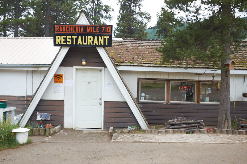
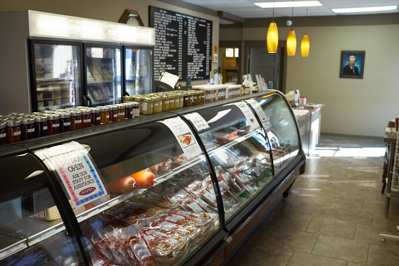
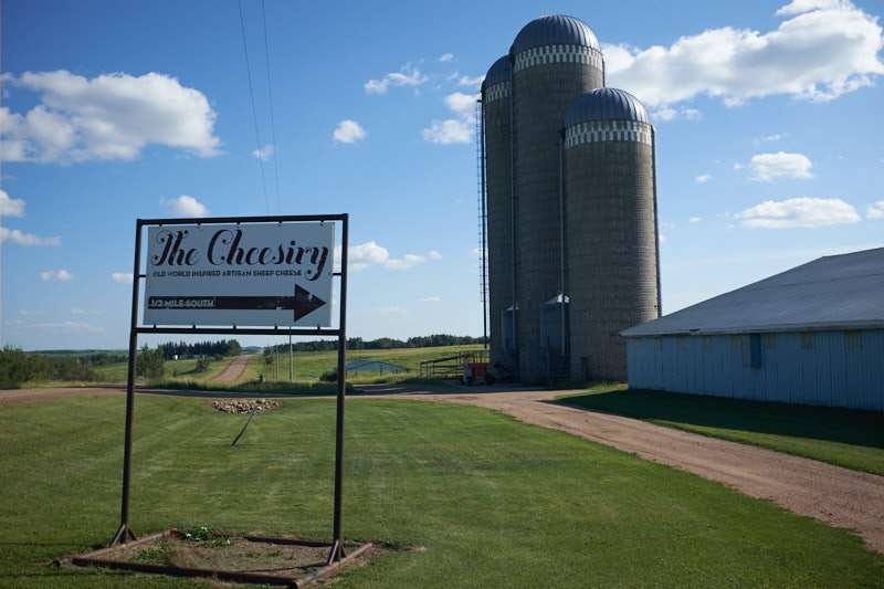
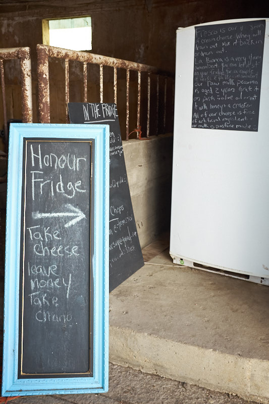
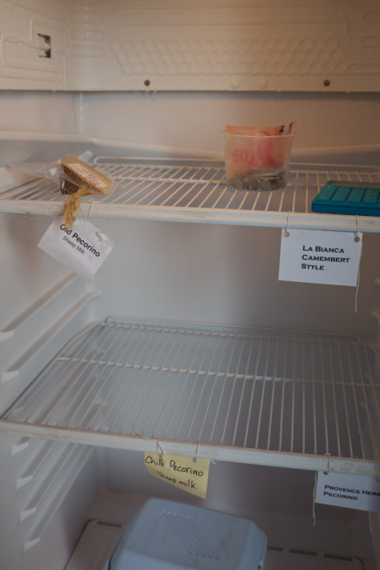
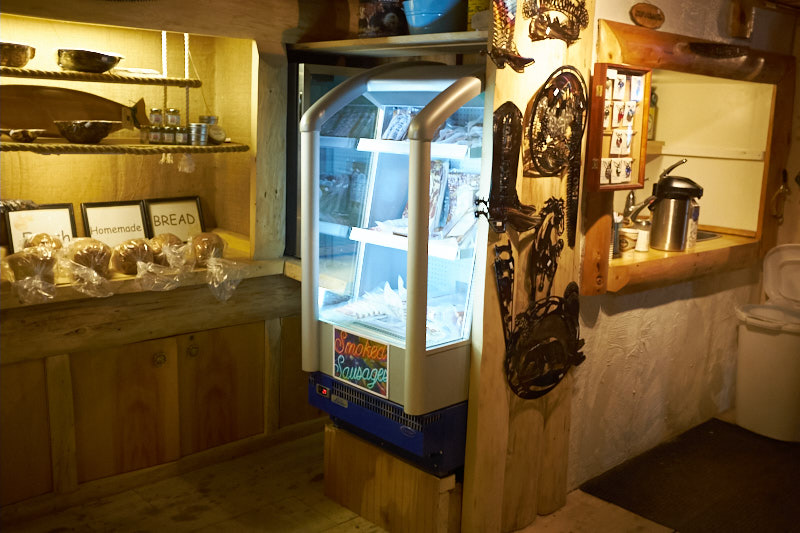
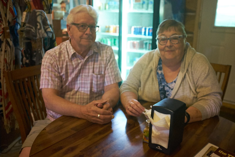
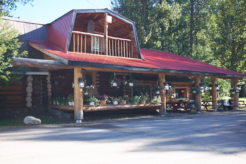
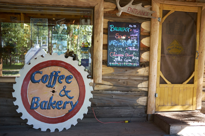
    After a great sleep and a nice warm shower we went for the promised amazing cinnamon buns at the campground store/restaurant. Here we found hot coffee and tea, fresh baked bread, homemade sausages, books and a variety of native art, knives and clothes.

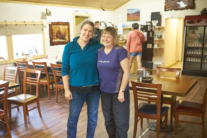
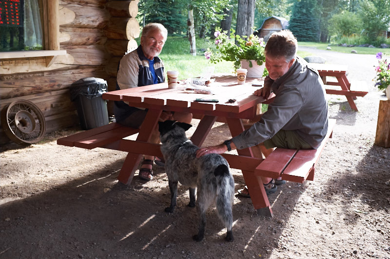
    We enjoyed our conversations with two gentlemen from the US and Al and Darlene from Manitoba.

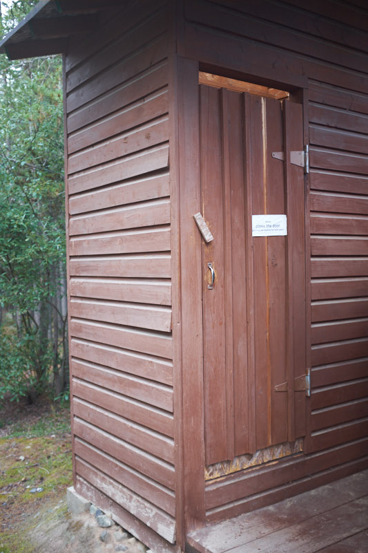
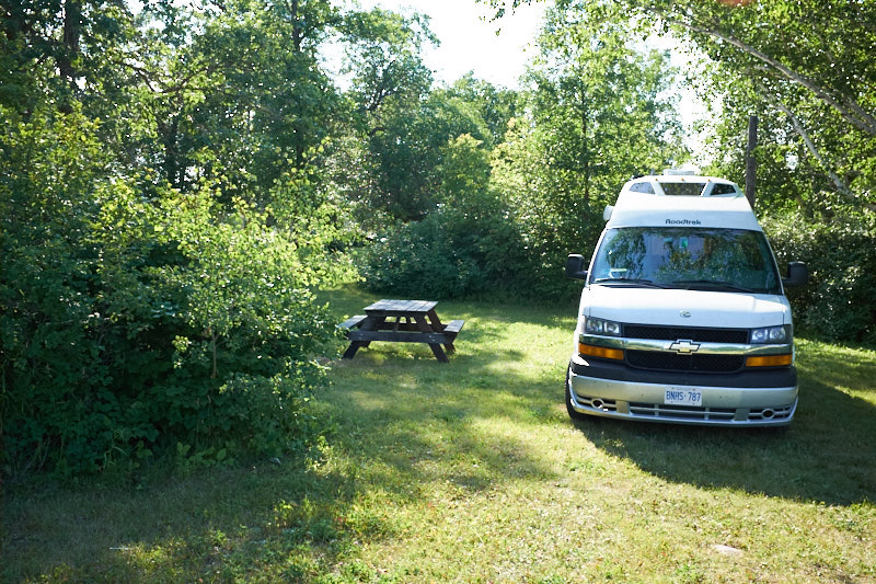
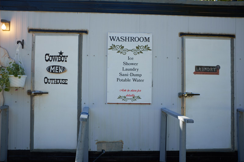
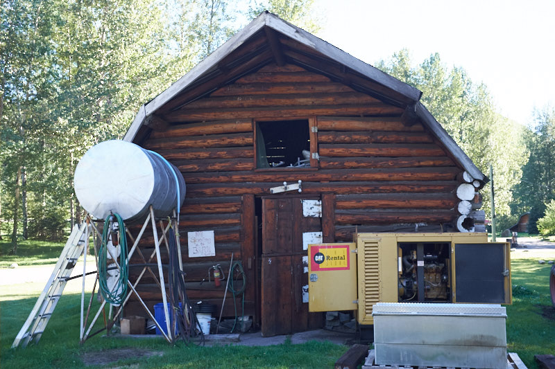
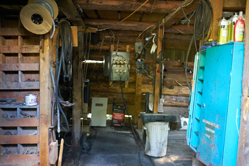
    The campground itself was unique with a diesel generator running in the barn to supply power to the campground, and a trailer with freezer style door handles that contained the washrooms and laundry room.

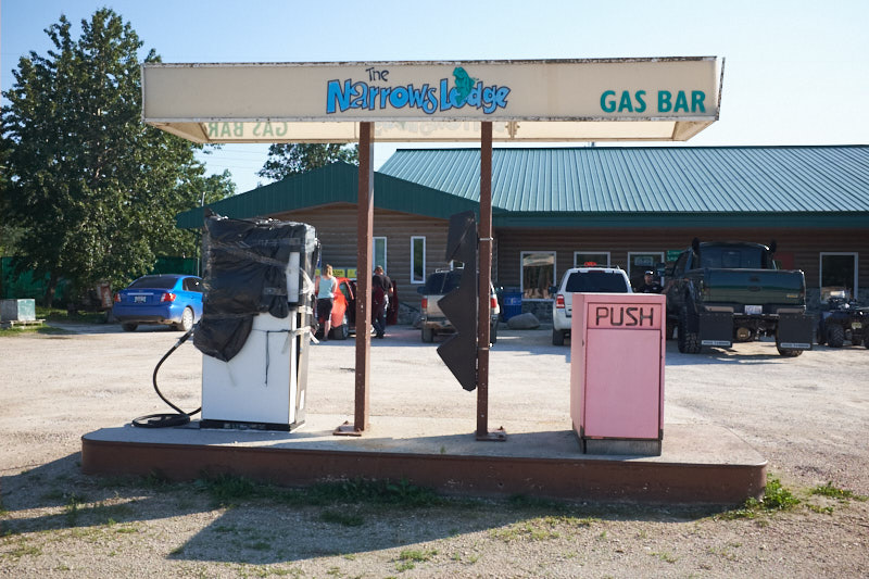
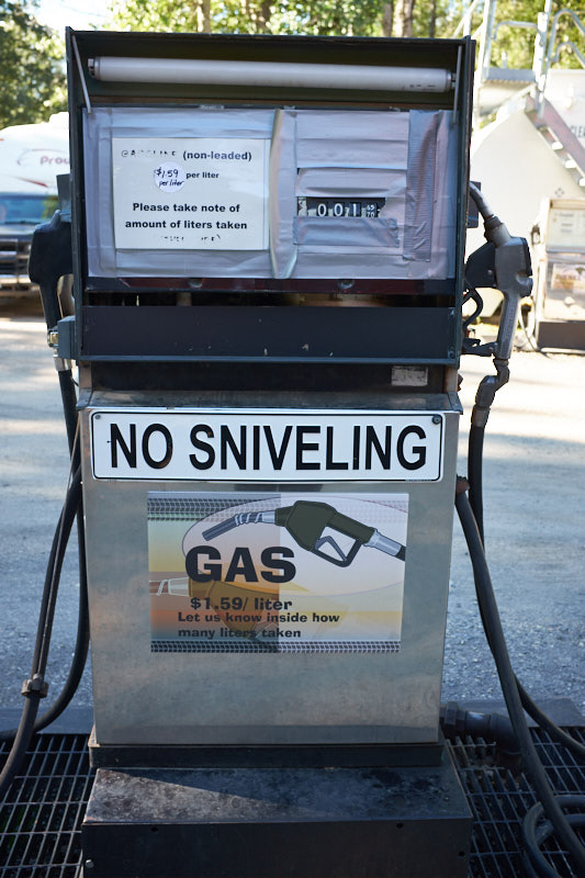
    Gas was sold out, even at $1.59 a litre!

    It seemed we were out of battery power as well as our van refused to start. No dash lights, no click, no nothing!

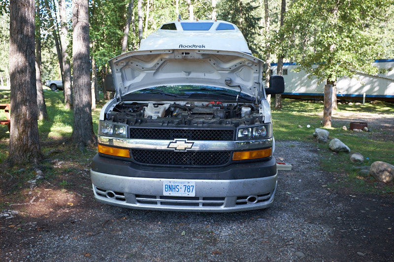
    Martin began some troubleshooting, disconnected the vehicle battery, and borrowed a multi-meter from the campground. The battery read 0 volts. Strange. Maybe the meter was broken, so he tried measuring the coach batteries. They read 6V each as they should. A few more tests gave somewhat unexpected results. Time to ask whether they had another meter. The next meter showed 12V on the vehicle battery, so he reconnected it to the van again and all of a sudden everything worked! Phew…

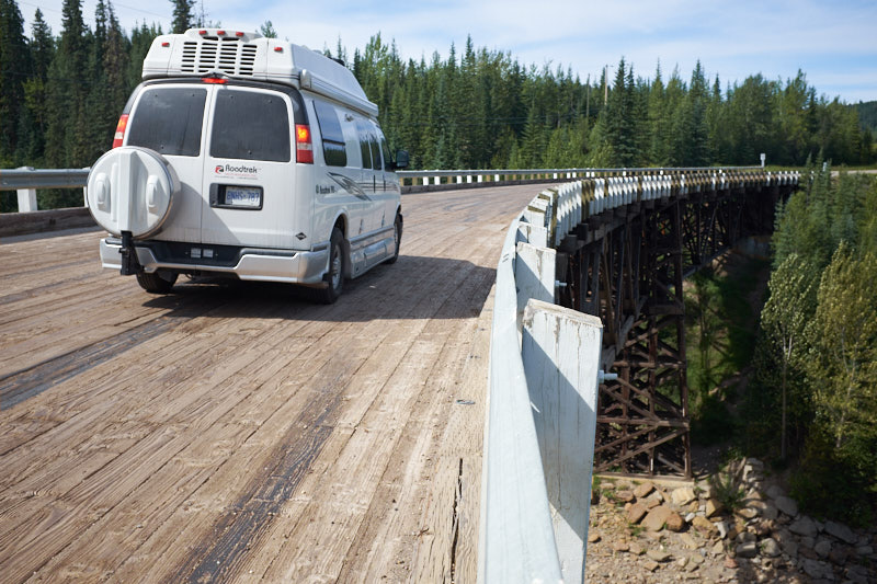
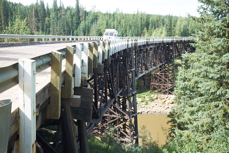
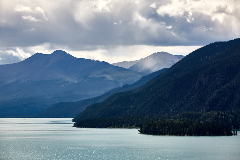
    Now the most breathtaking portion of our trip so far could begin. Most of the time we drove along lakes and rivers through the mountain ranges of the Rocky Mountains. We learned about folded mountains and alluvial fans caused by water draining after summer downpours.

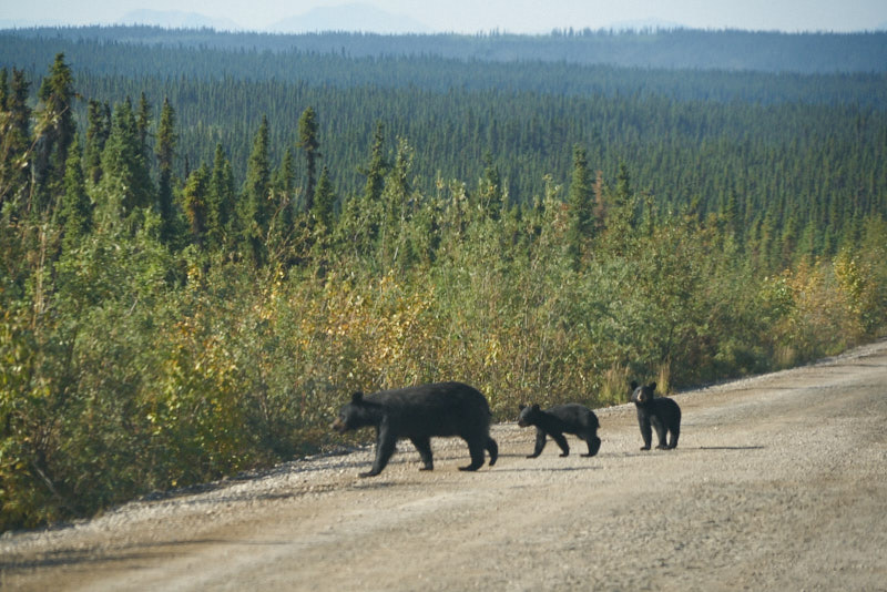
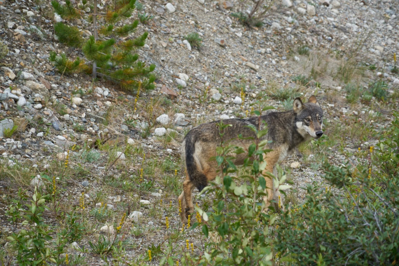
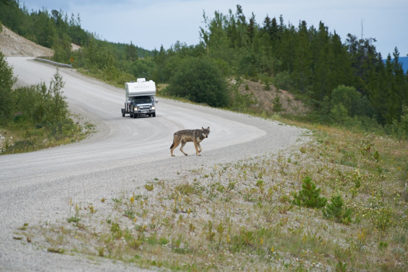
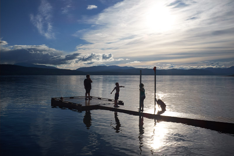
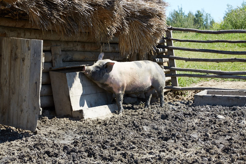
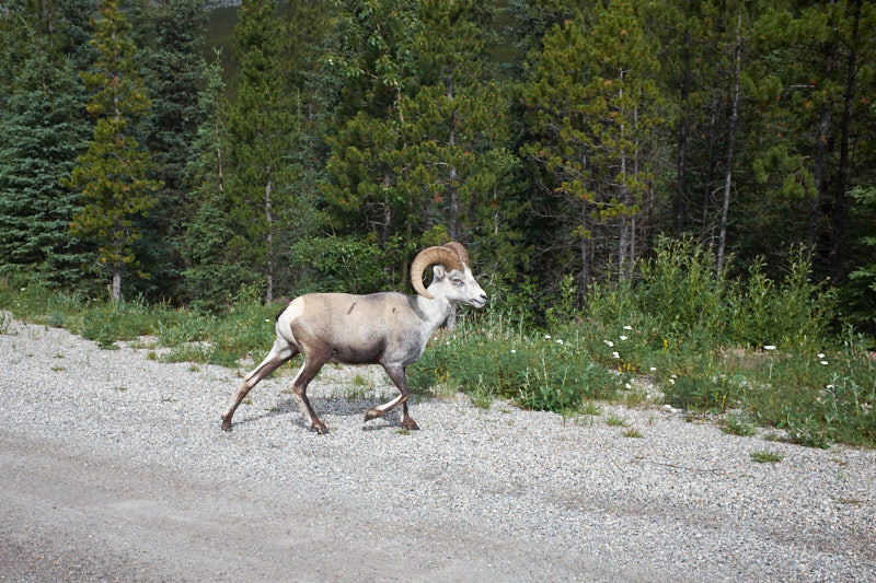
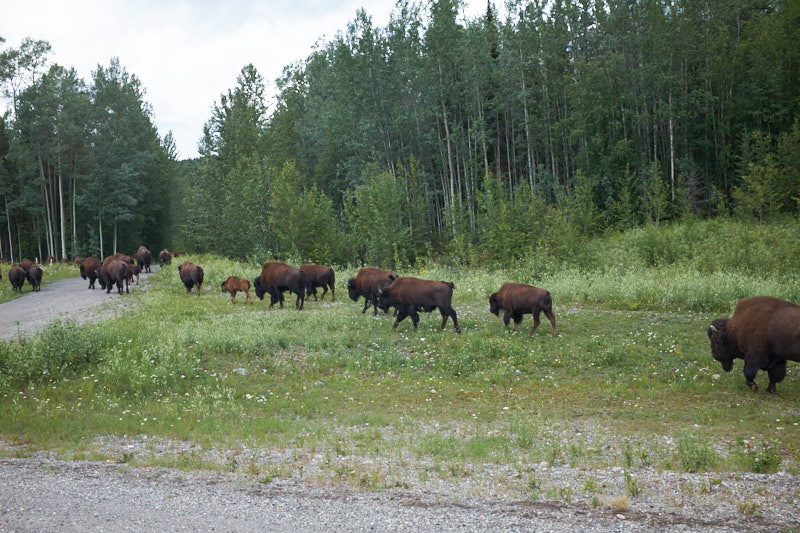
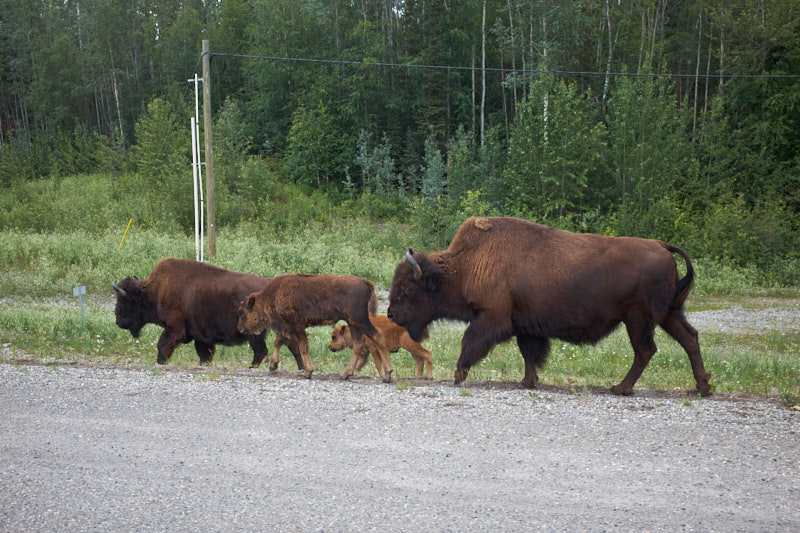
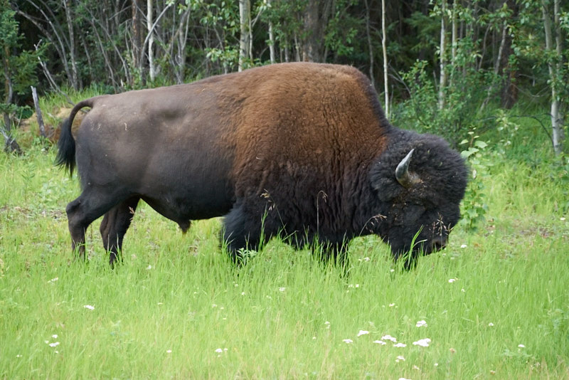
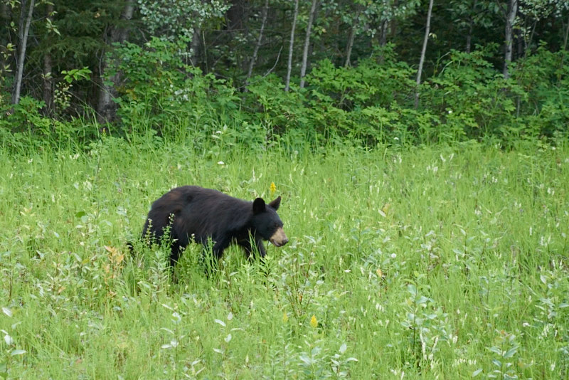
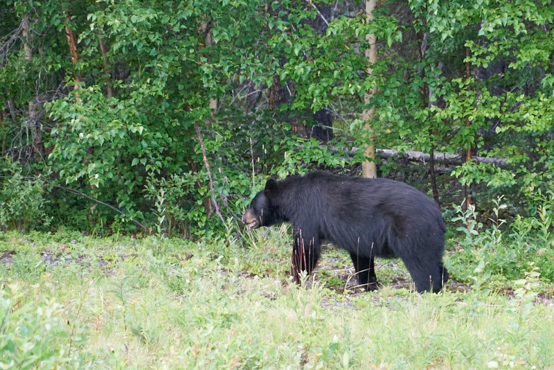
    Wildlife was abundant! We saw Stone Sheep, bears and bison.

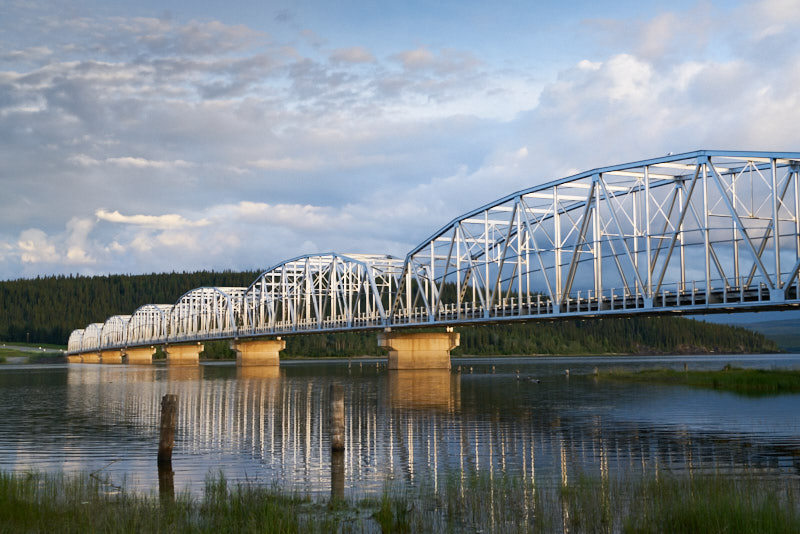
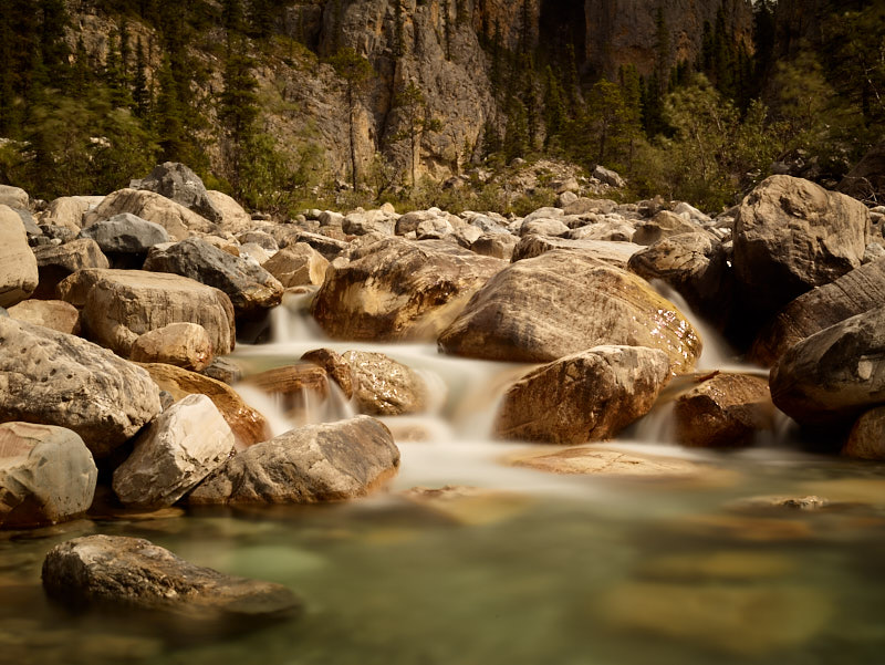
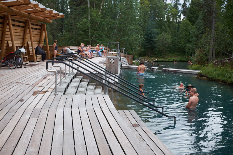
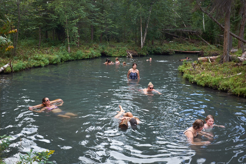
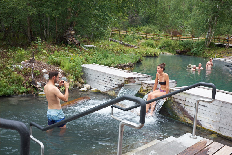
    Part of the Alaska Highway follows the Liard River and it took us to the Liard River Hotsprings Provincial Park where we had lunch followed by a soak in the pools filled with naturally hot spring water.

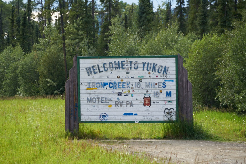
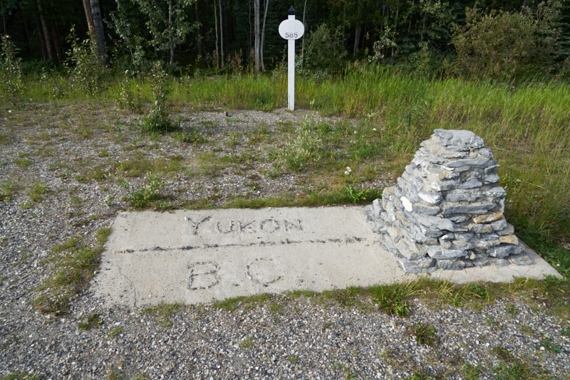
    We made it to the Yukon!

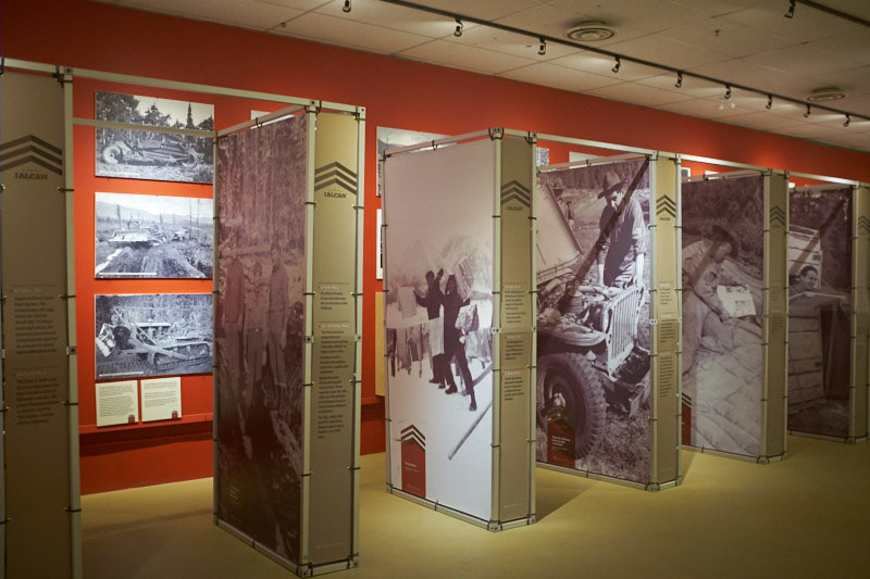
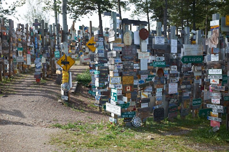
    Our destination for today was Watson Lake and we stayed at the Downtown RV Park. Dinner was across the street at a Chinese restaurant with homemade food for a reasonable price. The program for the evening was a visit to the Northern Lights Centre, the only planetarium in North America featuring the myth and science of the Northern Lights.

  • Grande Prairie, AB to Tetsa River, BC

    As we left our campground we drove by a tractor trailer accident. Highway 44 up to just outside of our campground is a 4 lane divided highway but it ends and takes a left turn into Grande Prairie. This truck driver must have either missed his turn or fallen asleep and ended up running off the road. A great wake up call for us, especially because this was going to be a driving day for us.

    We stopped at the Costco to gas up the van and also pick up some bottled water. The water costs $3.39 plus a deposit of $4.00 and a $1.39 Enviro fee.

    We passed many oil and gas wells and associated businesses and a large number of Golf courses on our way to Dawson Creek where the Alaska highway begins.

    There is a turn off to Kiskatinaw Provincial Park about 27 kms in. Here one can drive a 10 km section of the old Alaska highway and can cross the historic Kiskatinaw Bridge, the only original timber bridge built along the Alaska highway that is still in use today.

    The beginning of the Alaska Highway still had lots of canola fields and oil and gas wells but soon it became more forested with hills and curvy roads, still with oil and gas wells although those eventually also ended.

    As of Fort Nelson we drove through mountainous areas with steep ascents and descents of up to 10% and tight curves. We enjoyed the stunning scenery and were warned to look out for animals by the many caution signs. Sure enough, we were very lucky to see a mother moose and her calf crossing the road ahead of us. What a sight!

    We were ready to call it a day and stayed at the Tetsa River Services and Campground. One of the allures was the promise of the best cinnamon buns ever for breakfast. After driving 720 kms, that sealed the deal!

  • Vegreville, AB to Grande Prairie, AB

    We had an early morning that started with brushing Pepsi and de-fluffing Martin and the van.

    As a treat, we went to the nearby Tim Hortons for breakfast and some planning and getting excited about our imminent arrival in the Yukon.

    Our first stop was a few kilometres down the highway in Mundare with its large sausage monument honouring the Stawnichy’s Meat Processing plant. SMP has been making sausages in the area since 1959 and we sampled and purchased several different items.

    By now it was 10AM, and the Ukrainian Heritage Village a few kilometres down the road was just opening. This reconstruction of what life was like for early Ukrainian settlers includes actual period houses from locations in the area and interpretive staff that interact with you as if you were actually in that time period. This was informative, a lot of fun, and a unique experience. We spent several hours there learning what the life of early Ukrainian settlers was like. We talked to a blacksmith, teachers, and a farmer and his wife.

    We saw some chickens, but the star of the farm animals was a very smart pig that used its snout to open and drop the lid of its feed box to rattle the food into its trough.

    Time for Ukrainian lunch under a big shady tree followed by a serious stretch of highway to make up our daily quota of kilometres.

    Our campground tonight is in Grande Prairie and features what looks like a number of oil and gas workers.

    Our restaurant at the campground was right next to a garage where honey was being harvested and we got to sample fresh honey straight from the comb. Yummy!

    Guess what? One more Ukrainian meal to finish the day prepared by Irina, who came to Canada from the Ukraine only three years ago.

  • Manitou Beach, SK to Vegreville, AB

    After a good planning session of our route to come, we departed towards Edmonton rather late in the morning. It was mostly a driving day and the canola fields gradually turned to bright yellow canola fields with scattered black oil and gas wells.

    Towards the end of the day we visited the Alberta Visitor Information Center in Lloydminster where Jonathan, our competent and very nice associate, hooked us on the Ukrainian history and food in the area.

    Our first stop was the “Cheesiry”, an artisan cheese making operation. Their boutique was now permanently closed, but they had an honour fridge in the barn where one could purchase cheese.

    Unfortunately, after deciding what we wanted, we looked into the fridge and found it void of cheese, save for one small piece. There was, however, a fairly substantial amount of cold, hard, cash.

    The next stop was Vegreville, the site of the world’s largest Ukrainian egg at 25.7 feet in length, constructed in 1975.

    We were looking forward to having dinner at a Ukrainian restaurant that had advertised in the regional tourist information brochures, only to find it was closed and for sale. The city campground office was also already closed for the evening and while it had a mail slot for self-registration, there weren’t any forms available to actually register on. Walmart parking lot to the rescue!


  • The Narrows, MB to Manitou Beach, SK

    Our campsite was part of a larger “Resort” complex which included a small store with more liquor than food and a defunct gas station.

    We left after a wholesome steel-cut oatmeal breakfast and continued on our route of less travelled and less repaired highways towards Saskatchewan. Along the way we passed endless fields of bright yellow canola, grain elevators and a few quirky town mascots such as the one found at Gilbert Plains.

    We reached our goal of Little Manitou Lake which we had discovered on our 2008 cross-Canada trip. Little Manitou Lake has a very high mineral and salt content which is said to have healing powers. We visited the spa/pool and spent quite some time in the salty, slightly brownish waters of various temperatures. Ruth found that her mosquito bites were no longer itchy after being in the water.

    Our campground is in walking distance from the spa and is a beautifully treed park. We had a lovely BBQ hamburger dinner sitting outside listening to the wind rustle through the trees.

  • Falcon Lake, MB to The Narrows, MB

    We started the morning by having a huge Ukrainian and Canadian breakfast at the Falcon Lake restaurant. This was our first breakfast out – what a treat! Ukrainian breakfast includes pierogies, kielbasa, eggs and toast.

    Well fed and with a clean van we were ready to embark on the day’s adventure. Today that would be Gimli, Manitoba on the west side of Lake Winnipeg. We took historic Hwy 1, a narrow and hilly two lane highway with a speed limit of 100 km/h and somewhat reminiscent of a younger version of Route 66. It took us to Hwy 9 which led us to Gimli, a town that was celebrating the 34th anniversary of the Gimli Glider incident. On July 23, 1983, an Air Canada Boeing 767 ran out of fuel on its way from Montreal to Edmonton and had to make a emergency landing without power on an abandoned runway at the airport. Captain Robert Pearson successfully landed the jet without any serious injuries to the passengers and crew.

    A permanent exhibit was officially opened today with artifacts and background information. Captain Robert Pearson was in attendance, gave a detailed account of the events, cut the ribbon officially opening the museum and signing autographs. Federal and local politicians, some the crew and passengers from the flight, and a representative of the company that manufactured the ram air turbine (RAT) which allowed the hydraulic systems to continue to operate after a shutdown of both engines were in attendance.

    While Martin visited the museum, Ruth strolled along the seawall with Pepsi and did some street photography.

    After Gimli we drove to The Narrows, an area where Lake Manitoba becomes narrow and checked into our secluded campground for the evening.