Category: Virginia

  • Southern US Trip Summary

    This morning at home we feel as though we are living between two worlds. Before we enter back into our everyday life with all its responsibilities we look back on six and a half weeks of excitement and adventure. We’re happy we did write the blog so that we don’t forget all the things we saw and experienced. It definitely is a trip to remember and does rival our Route 66 trip from two years ago.

    What worked well:

    WIND Mobile’s Unlimited US Roaming. We’ve been WIND Mobile customers for a number of years now and their price just can’t be beat. For $15 a month we had unlimited voice calling, texting and 1GB of data while in the US. This allowed us to keep in touch and look up things on the road.

    Good Sam Membership: This RV club membership cost $25 a year and give you 10% discount at member campsites.  It definitely paid for itself.

    America the Beautiful Pass: This $80/year pass gives you free entrance to US Parks and other recreation sites. It paid for itself as well.

    Garmin GPS: We love our Garmin GPS system. At the start of the trip we had the RV/Trucking dezl 760 model but it was stolen in Albuquerque so we bought a nuvi 2689LMT to replace it. These GPS units have campground locations pre-installed and provide lots of information on arrival times, traffic conditions, etc.

    Allstays Camp and RV App: We use this app on our iPads all the time to look for campgrounds. It shows the location of campgrounds and gives information about their rating, facilities and distance from your current location.

    NOAA Weather Pro App: This app for the iPad and iPhone shows a map with weather conditions. It also has the ability to send alerts to your phone when severe weather is nearby.

    Visitor Centres, Park Rangers and Bureau of Land Management offices: These are always a source of great information and have invaluable knowledge of local conditions and opportunities.

    Frugal RV Travel Guides: These guides have great route information as well as tips on inexpensive places to stay overnight.

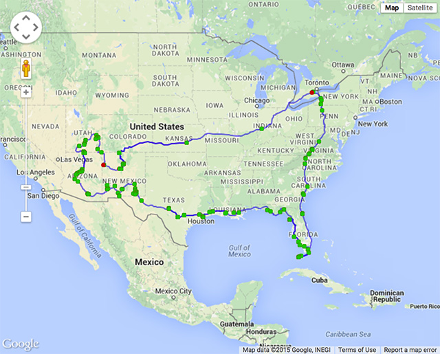
    Here’s a map of the entire trip. This is an image grab from Google Maps as it wasn’t possible to use the entire GPS track on a live map, probably because of its size.
    SouthernUS

  • Meadows of Dan, Virginia to Colleton State Park, South Carolina

    Today was to be a driving day to make up for yesterday and we did make in fact make 526kms. Nevertheless we had some exciting diversions.

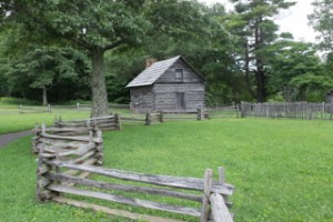
    On the parkway we stopped at the Puckett Cabin where “Aunt” Orelena Hawks Puckett lived for the latter of her 102 years. She was a midwife for 52 years and assisted at births of more than 1000 babies, delivering the last in 1939, the year she died. She never lost a child or mother through her own fault although none of her own 24 children lived beyond infancy.

    20150715-USTrip2015-3546

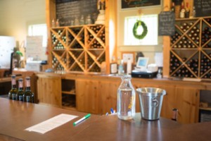
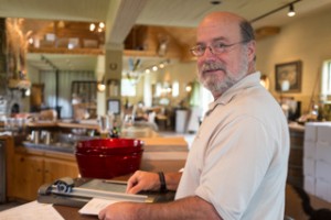
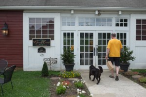
    We left the parkway and soon entered North Carolina where we stopped at their visitor center to stock up on fresh places to visit. There are a number of vineyards in the area and we stopped at Grassy Creek Vineyward and Winery where Ruth tasted 6 different wines (Martin was driving) and we spent some time talking to Jim, the owner and winemaker. Jim is not only a great winemaker but also a well travelled person with many stories to tell.

    20150715-USTrip2015-3559 20150715-USTrip2015-3556 20150715-USTrip2015-3551

    Lunch was a picnic at Lake Norman State Park overlooking a beach and swimming area.

    20150715-USTrip2015-3562

    After lunch we determined to make up for lost time and didn’t permit ourselves to visit the South Carolina visitor center.

    Our home for the night is the Colleton State Park in South Carolina which is located next to a river and is very spacious with lots of trees. The air is very humid and hot. No aligators are reported in the vicinity and the cottonmouth and rattlesnakes also haven’t come for a visit.

    We’re very happy our air-conditioning works!

  • Staunton, Virginia to Meadows of Dan, Virginia

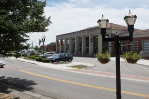
    We started the morning by writing blog entries for the last two days but were unable to post them as we didn’t have a fast enough internet connection. Our plan was to drive as far as possible today but the idea of going to the Roanoke visitor center changed the entire day. The visitor center is located at the former Norfolk and Western Railway station which now houses the permanent exhibition of O. Winston Link’s photographs documenting the last steam trains in America. We had a fascinating tour of the exhibit, including seeing his cameras and lighting equipment (flash bulbs!) and details of how some of his images were created, followed by a movie on the photographer’s life. We were so impressed that we bought a book about the exhibit.

    20150714-USTrip2015-3505

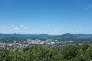
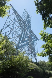
    The visitor center staff suggested we drive up the nearby mountain to see the large star overlooking the city and then take the Blue Ridge Parkway south.

    20150714-USTrip2015-3510 20150714-USTrip2015-3507

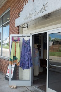
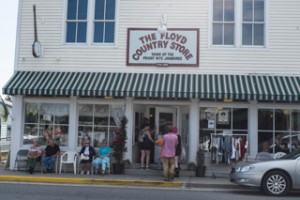
    The parkway has a speed limit of 45mph and is quite curvy which meant we didn’t make it very far. At the beginning there wasn’t much to see so we took a suggested detour to visit the town of Floyd which feels a bit like a hippy town from the 1960s and is quite well known for its live music festivals.

    20150714-USTrip2015-3520 20150714-USTrip2015-3518 20150714-USTrip2015-3517

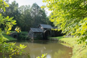
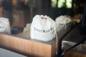
    Back on the parkway we stopped at the Mabry Mill, built about 1910 and used to grind corn and saw lumber. In 1945 the National Park Service restored and landscaped the mill. Today is it the most photographed feature on the Blue Ridge Parkway.

    20150715-USTrip2015-3546 20150714-USTrip2015-3530 20150714-USTrip2015-3521

    Now it was time to find a place to sleep. The first option was a state park but it didn’t appeal to any of us. Pepsi even nipped the nose of the park ranger who stuck his face too far into her personal space. The second option, Meadows of Dan Campground was much nicer and we settled in for the night after having had dinner outside, going for a short walk and then reading outside until it became too dark.

    Total distance covered: 268kms

  • Allegany State Park, NY to Staunton, Virginia

    We had a great sleep, the black bears we had been warned about didn’t attack us, and we were sad to leave.

    Today was driving day. We drove through the beautiful park and saw the sign “Quaker Area” and wondered whether this was an old Quaker settlement or whether the pretty green wooden cabins were specific ground for Quaker families.

    After leaving the park we continued on smaller roads through lush hilly areas. It was a bit sad to leave the coutry roads and get on the Interstate, but the Interstate is definitely faster.

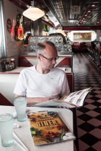
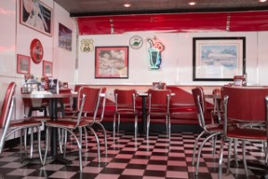
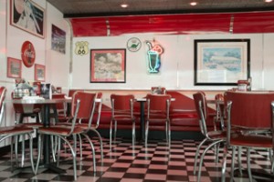
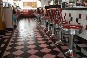
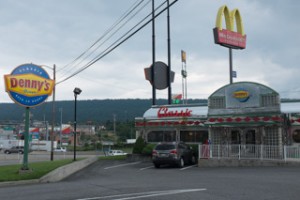
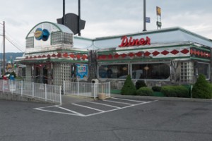
    Before we got on I-70, we had a late lunch at a Classic Denny’s. It was a replica but it definitely reminded us of Route 66 with its red seats and black and white tiled floors.

    20150713-USTrip2015-3499 20150713-USTrip2015-3498 20150713-USTrip2015-3498-2 20150713-USTrip2015-3496 20150713-USTrip2015-3494 20150713-USTrip2015-3492

    In Winchester, Virginia we stopped at a farmer’s market, sampled some delicious peaches and cherry-apple cider and left with fresh tomatoes, peaches, a half gallon of cherry-apple cider and a mouth watering peach pie which was to become part of dinner tonight.

    After 575kms, we were done for the day. Tonight there is no beautiful park but a friendly Walmart with RV and truck friends.