Category: Places

  • The Narrows, MB to Manitou Beach, SK

    Our campsite was part of a larger “Resort” complex which included a small store with more liquor than food and a defunct gas station.

    We left after a wholesome steel-cut oatmeal breakfast and continued on our route of less travelled and less repaired highways towards Saskatchewan. Along the way we passed endless fields of bright yellow canola, grain elevators and a few quirky town mascots such as the one found at Gilbert Plains.

    We reached our goal of Little Manitou Lake which we had discovered on our 2008 cross-Canada trip. Little Manitou Lake has a very high mineral and salt content which is said to have healing powers. We visited the spa/pool and spent quite some time in the salty, slightly brownish waters of various temperatures. Ruth found that her mosquito bites were no longer itchy after being in the water.

    Our campground is in walking distance from the spa and is a beautifully treed park. We had a lovely BBQ hamburger dinner sitting outside listening to the wind rustle through the trees.

  • Falcon Lake, MB to The Narrows, MB

    We started the morning by having a huge Ukrainian and Canadian breakfast at the Falcon Lake restaurant. This was our first breakfast out – what a treat! Ukrainian breakfast includes pierogies, kielbasa, eggs and toast.

    Well fed and with a clean van we were ready to embark on the day’s adventure. Today that would be Gimli, Manitoba on the west side of Lake Winnipeg. We took historic Hwy 1, a narrow and hilly two lane highway with a speed limit of 100 km/h and somewhat reminiscent of a younger version of Route 66. It took us to Hwy 9 which led us to Gimli, a town that was celebrating the 34th anniversary of the Gimli Glider incident. On July 23, 1983, an Air Canada Boeing 767 ran out of fuel on its way from Montreal to Edmonton and had to make a emergency landing without power on an abandoned runway at the airport. Captain Robert Pearson successfully landed the jet without any serious injuries to the passengers and crew.

    A permanent exhibit was officially opened today with artifacts and background information. Captain Robert Pearson was in attendance, gave a detailed account of the events, cut the ribbon officially opening the museum and signing autographs. Federal and local politicians, some the crew and passengers from the flight, and a representative of the company that manufactured the ram air turbine (RAT) which allowed the hydraulic systems to continue to operate after a shutdown of both engines were in attendance.

    While Martin visited the museum, Ruth strolled along the seawall with Pepsi and did some street photography.

    After Gimli we drove to The Narrows, an area where Lake Manitoba becomes narrow and checked into our secluded campground for the evening.

  • North Bay, ON to Falcon Lake, MB

    We woke up to some rain and after breakfast planned the day’s route. Pepsi had her say but got bored pretty quickly and left for some interesting activities.

    Our lunch site was right at picnic area adjacent to a waterfall. We took some time to enjoy the scenery and photograph.

    We just made it back into the van when it started to rain. And that rain was just the tip of the iceberg of what was to come. The downpour was so bad that we couldn’t see the road anymore and had to pull into a rest area where we were pelted with hail. Once that stopped we continued on our way only to get hit with a second rain storm and another stop by the side of the road.

    We crossed the Manitoba border, stopped at the visitor’s center and raced the 14kms to the Falcon Lake campground to get the last electric campsite.

    The “resort” at the complex featured Wayne Morris, a magician and hypnotist from Alberta who was performing that night. The venue where the performance took place was filled with pool tables, slot machines, a dance floor and bar. The only dinner choice was chicken fingers and fries. The show was informative, classy and worthwhile and it was too bad that so few people showed up for it.

    On our way back to the campsite we peeked into the bakery to see what breakfast options are available and talked to our camp neighbours about their tractor trailer, trailer and Smart car combination.

  • Kapuskasing to North Bay

    In the morning we woke up to the usual Walmart scene – a bunch of RVs and a truck with idling diesel engine.

    Our drive today took us through some amazing scenery from rocky wooded areas with beautiful lakes to vast plains to spectacular mountainous areas.

    On the way we stopped at the Geraldton Information Center to learn about the history of the area, starting with the native people to the gold miners to the forest fire fighters of today.

    We stopped at the Trowbridge Campground for the evening and took Pepsi for a walk to investigate the campground and were surprised to find a number of vintage cars and trailers at some of the campsites. We spoke to a couple of the owners of the cars and discovered that they were all part of a coast-to-coast old timers rally and were driving from Victoria, British Columbia to St. John’s, Newfoundland over a period of 70 days. Cars included an old ambulance and fire truck. Definitely a sight to behold.

  • North Bay to Kapuskasing

    Today was our first full travel day. We got up early, had breakfast in the van because of the helicopter sized mosquitos, dumped and filled all water tanks and headed north. Yesterday we had passed a sign that said we were half way to the North Pole (45 degrees North) and today we made to the 49th parallel.

    Highway 11 was our best friend. It took us to Temagami where we almost bought a prefabricated bunkie lego-like kit for $8000. All we needed was some land to put it on!

    A short stop at the Information Center and Native Art Gallery followed. The snack bar next door was still closed and so we were deprived of our ice cream, but the moose with the Canadian tie had to do for now…

    A short drive up the road we came across the Thornloe cheese factory where we stocked up on a fine selection of local cheeses and a small strawberry milk shake each.

    Our next stop was to be TImmins where we wanted to take a Gold Mine tour. Fortunately, thanks to the wonder of the Internet, we discovered this attraction had closed in 2013 so saved ourselves the detour.

    We continued on Highway 11 through rain, hail and wind and only briefly stopped at the abandoned Smooth Rock Cafe…

    Our home for the night is the Walmart in Kapuskasing, about 600kms from tomorrow’s goal of Thunder Bay.

  • Markham to North Bay

    Breakfast was an hour long three course feast with lots of conversation followed by a short walk for Pepsi’s sake. Then we were off on our six week adventure. This time we chose to use the northern Trans-Canada highway which took us to North Bay. We stayed at the same little campground that we’d stayed at last year. This gave us the opportunity to just march out the side gate to the Champlain Park and go for a swim in Lake Nipissing. The water was a lot warmer than the North Sea had been in Denmark two weeks ago but still felt refreshing on this beautifully warm sunny day. A BBQ chicken dinner at the picnic table followed and we ended the day by re-watching the last two episodes of House of Cards Season 4. Now that we’ve refreshed our memories of what had happened last year, we can move onto Season 5, all downloaded on Martin’s iPhone.

  • Dundas to Markham

    We had arrived home from our Denmark/Germany trip and went into a mad rush to get the laundry done and pack for the Canada trip. In the morning we finished getting the van ready, picked up dog food at the vet, Pepsi at Holly’s Pride where she had spent the two weeks while we were gone, got our hair cut and had a lovely lunch at our friends Pat and Palma’s house. Well fed and with best wishes we were sent off. The trip wasn’t a long one – we only drove to Markham to spend the afternoon and evening with Martin’s dad. We went for fish dinner and talked for hours before settling in for the night in our van parked in the driveway. Pepsi was really happy to see us after being in the kennel for two weeks.

  • Canada 2017 Overview

  • Southern US Trip Summary

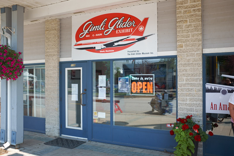
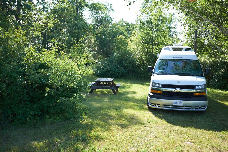
    This morning at home we feel as though we are living between two worlds. Before we enter back into our everyday life with all its responsibilities we look back on six and a half weeks of excitement and adventure. We’re happy we did write the blog so that we don’t forget all the things we saw and experienced. It definitely is a trip to remember and does rival our Route 66 trip from two years ago.

    What worked well:

    WIND Mobile’s Unlimited US Roaming. We’ve been WIND Mobile customers for a number of years now and their price just can’t be beat. For $15 a month we had unlimited voice calling, texting and 1GB of data while in the US. This allowed us to keep in touch and look up things on the road.

    Good Sam Membership: This RV club membership cost $25 a year and give you 10% discount at member campsites.  It definitely paid for itself.

    America the Beautiful Pass: This $80/year pass gives you free entrance to US Parks and other recreation sites. It paid for itself as well.

    Garmin GPS: We love our Garmin GPS system. At the start of the trip we had the RV/Trucking dezl 760 model but it was stolen in Albuquerque so we bought a nuvi 2689LMT to replace it. These GPS units have campground locations pre-installed and provide lots of information on arrival times, traffic conditions, etc.

    Allstays Camp and RV App: We use this app on our iPads all the time to look for campgrounds. It shows the location of campgrounds and gives information about their rating, facilities and distance from your current location.

    NOAA Weather Pro App: This app for the iPad and iPhone shows a map with weather conditions. It also has the ability to send alerts to your phone when severe weather is nearby.

    Visitor Centres, Park Rangers and Bureau of Land Management offices: These are always a source of great information and have invaluable knowledge of local conditions and opportunities.

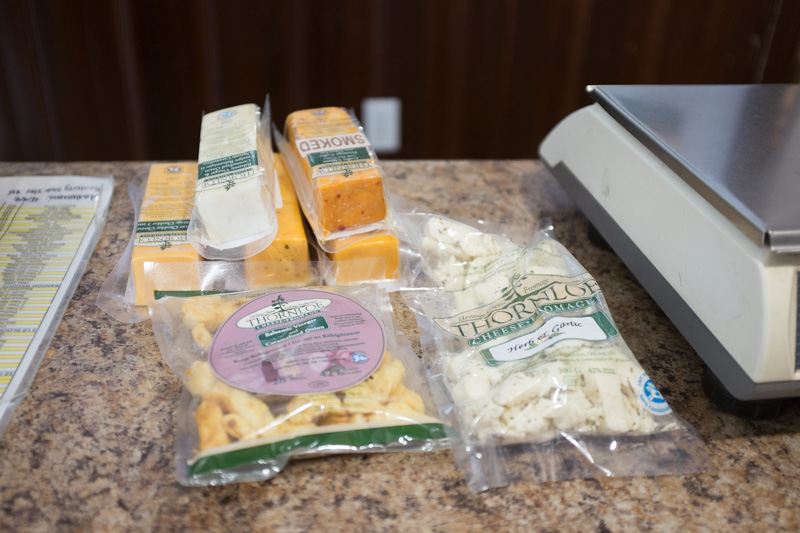
    Frugal RV Travel Guides: These guides have great route information as well as tips on inexpensive places to stay overnight.

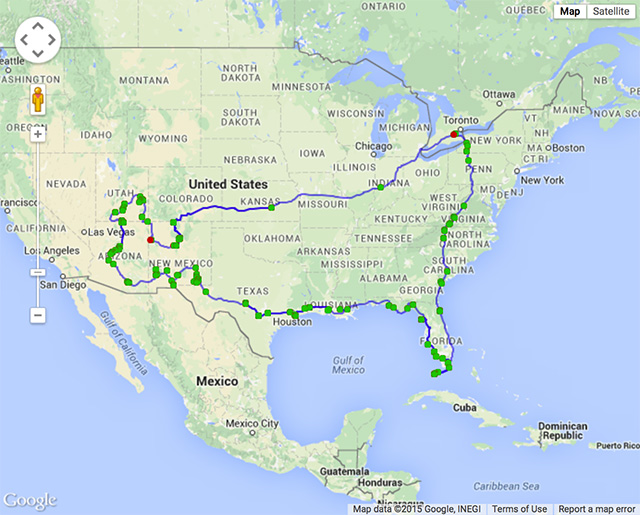
    Here’s a map of the entire trip. This is an image grab from Google Maps as it wasn’t possible to use the entire GPS track on a live map, probably because of its size.

    SouthernUS

  • Cloverdale, Indiana to Dundas, Ontario

    This morning we were all excited to go to Indianapolis to see Kevin Raber again and visit his new gallery. We’ve known Kevin since our 2009 Antarctica trip and our PODAS trips to Death Valley and Iceland. Kevin used to be the Vice President of Phase One USA and is now the CEO of Luminous Landscape, a great online resource for photographers.

    20150825-USTrip2015-7621 20150825-USTrip2015-7601 20150825-USTrip2015-7604 20150825-USTrip2015-7607 20150825-USTrip2015-7605 20150825-USTrip2015-7603

    Kevin has a lovely gallery/workspace in the Stutz building in downtown Indianapolis. Stutz was a car manufacturer and some of the historic cars are on display in the building today.

    20150825-USTrip2015-7623 20150825-USTrip2015-7626 20150825-USTrip2015-7632 20150825-USTrip2015-7614 20150825-USTrip2015-7610 20150825-USTrip2015-7608

    Ruth loved the old freight elevators and we all enjoyed a nice lunch in the building’s restaurant. Thanks for lunch Kevin.

    20150825-USTrip2015-7635 20150825-USTrip2015-7633

    20150825-USTrip2015-7640 20150825-USTrip2015-7616

    After a great visit we decided to drive the remaining 700 or so kms home rather than spending another night so close to our final destination.

    It was an amazing trip and rivals our Route 66 trip.