Category: Yukon

  • Canada 2017 Trip Summary

    Coming home gave us the feeling as though we are living between two worlds. Before we enter back into our everyday life with all its responsibilities we look back on six weeks of excitement and adventure. We’re happy we wrote the blog so that we don’t forget all the things we saw and experienced.

    What worked well:

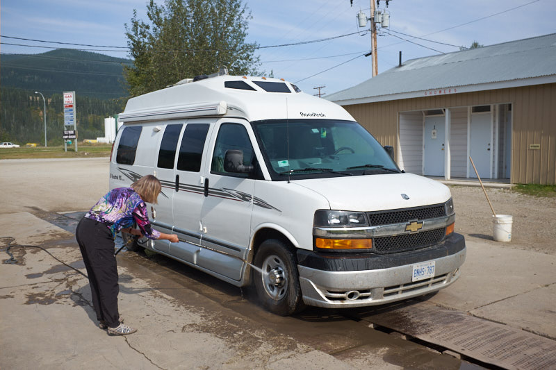
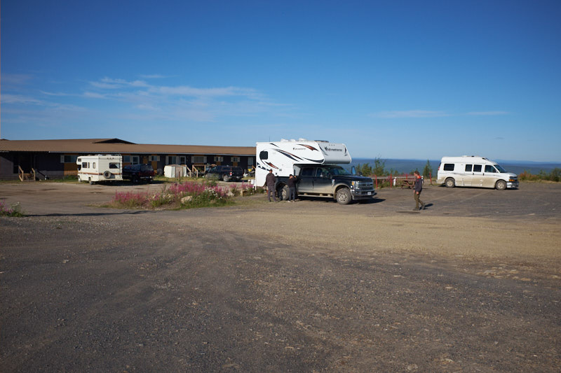
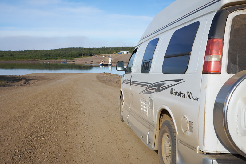
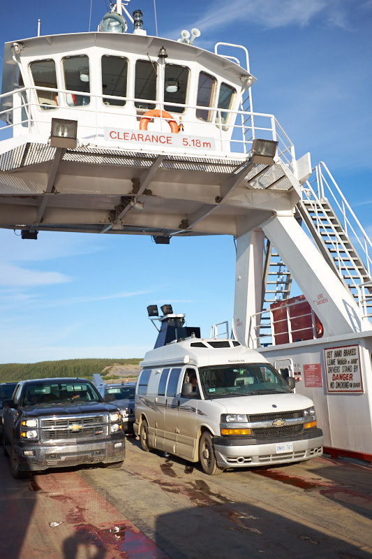
    Roadtrek 190 Popular: We love our Roadtrek! It is small enough to go virtually anywhere and has everything you need – kitchen, bathroom, fridge, furnace, air conditioning, etc.

    InReach Explorer+ Satellite Communicator: We bought one of these units to be able to communicate with friends and in case of emergency in areas where there is no cellular service. It worked like a charm and has the ability now to request weather reports as well.

    Public Mobile: We were travelling through areas where our cellular provider (Freedom Mobile) doesn’t have their own network so instead of paying roaming charges we chose to get a Public Mobile pay-as-you-go subscription with 6GB of data for the 6 weeks we were on the road. Public Mobile uses the TELUS network which covers western Canada very well.

    Freedom Mobile’s Unlimited US Roaming. We’ve been Freedom Mobile customers for a number of years now and their price just can’t be beat. For $15 a month we had unlimited voice calling, texting and 1GB of data for the days we were in Alaska. This allowed us to keep in touch and look up things on the road.

    Good Sam Membership: This RV club membership cost $25 a year and give you 10% discount at member campsites.  It definitely paid for itself.

    Garmin GPS: We love our Garmin nuvi 2689LMT GPS system.

    Allstays Camp and RV App: We use this app on our iPads all the time to look for campgrounds. It shows the location of campgrounds and gives information about their rating, facilities and distance from your current location.

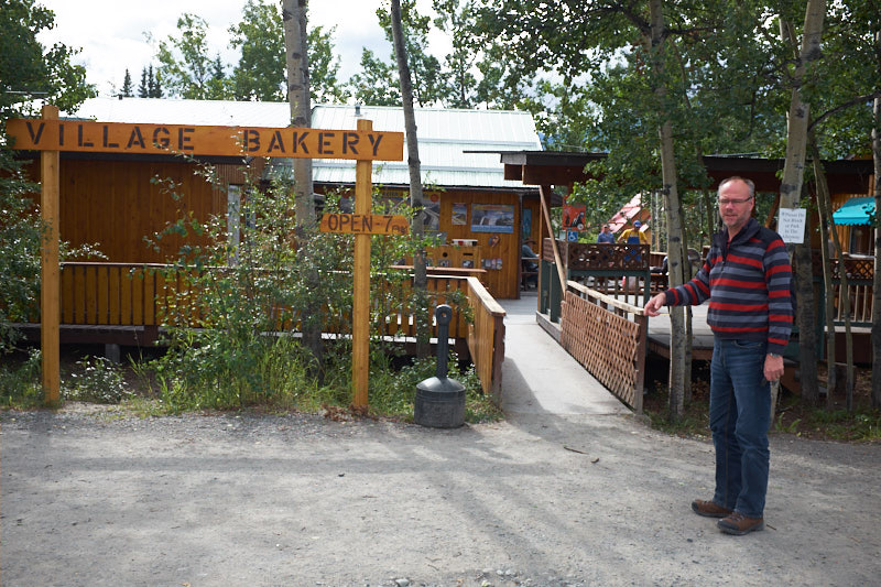
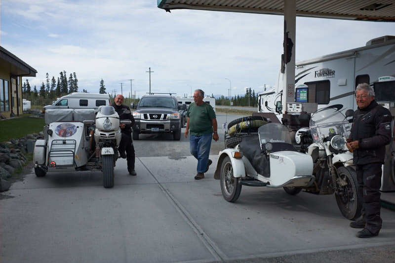
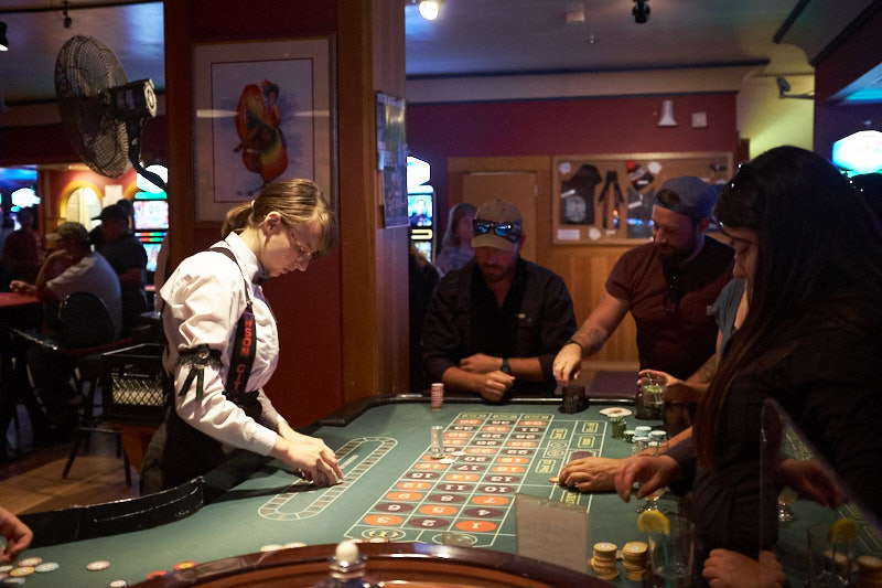
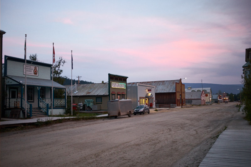
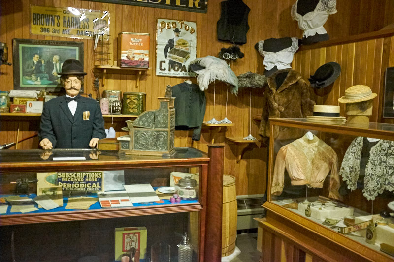
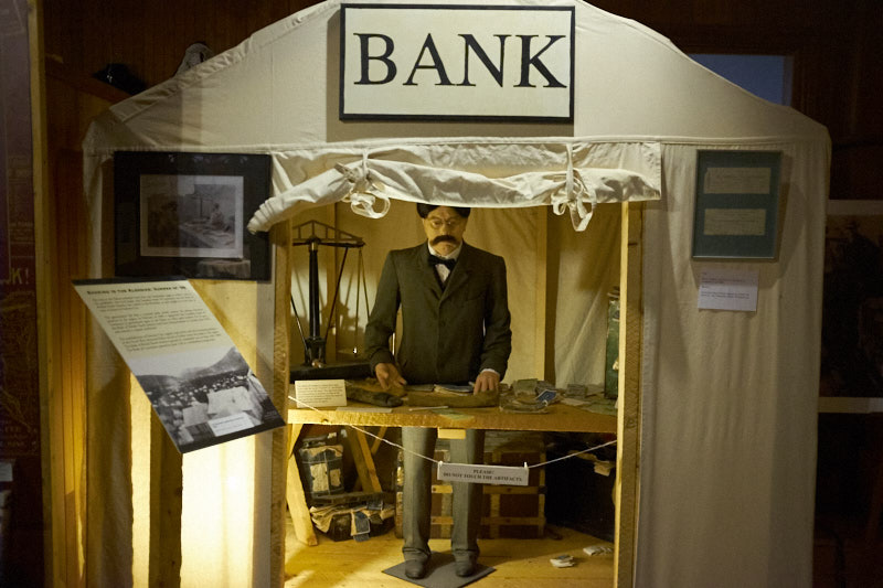
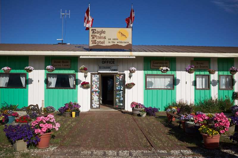
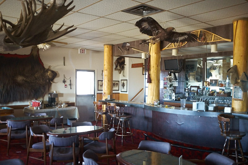
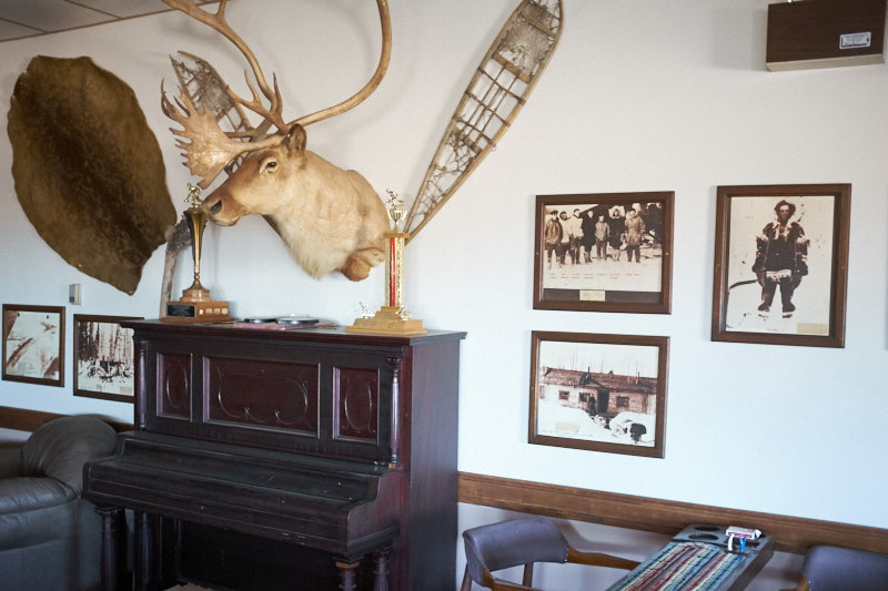
    Visitor Centres: These are always a source of great information and have invaluable knowledge of local conditions and opportunities.

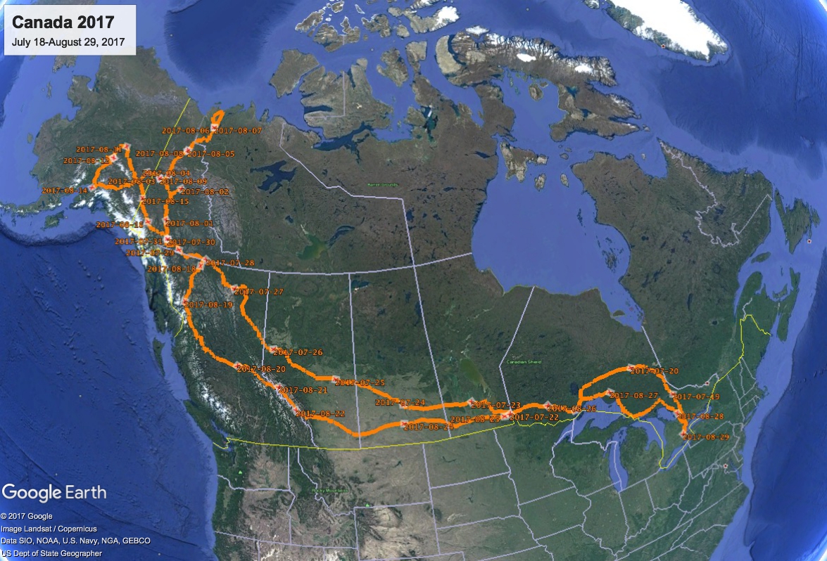
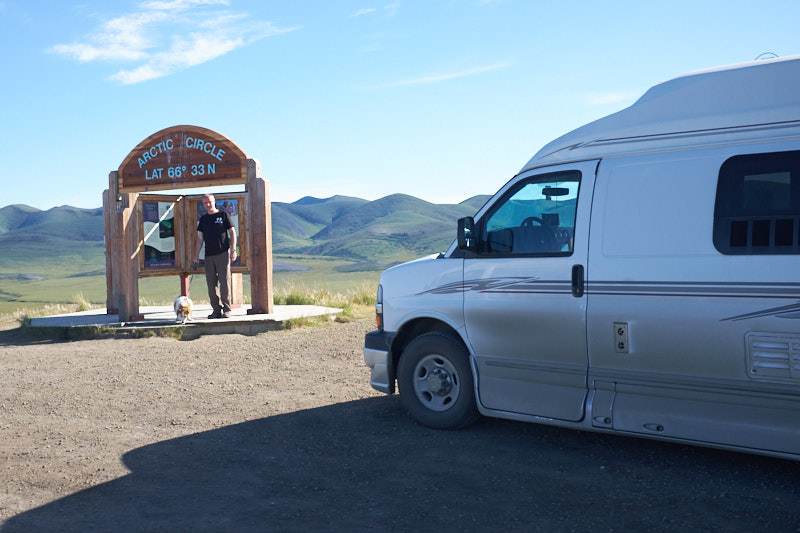
    Here’s a map of the entire trip. This is an image grab from Google Earth as it wasn’t possible to use the entire GPS track on a live map.

  • Whitehorse, YT to French Creek Recreation Site, BC

    After a cozy breakfast and updating our blog, we finally got on the road. Instead of taking the Alaska Highway all the way, we decided on a short detour to Carcross because we had been there 14 years ago on a Holland America cruise trip.

    On our way to Carcross we passed Emerald Lake with its mesmerizing blue, turquoise and green water.

    Carcross is a town on the White Pass and Yukon rail line which was built because of the gold rush and linked Skagway and Whitehorse.

    The town has really changed. Some of the buildings were or are in the process of being renovated and new stores and boutiques in a small plaza were a nice addition. We had ice cream in one of the old ones and cappuccino and German Apple cake in a new one. We visited a gallery and saw very different pieces and styles of art by various artists.

    One of the shops sold Maple Syrup. Since we hadn’t seen any Maple trees on our journeys, we enquired as to whether Maple trees grew in the Yukon, at which point the owner showed us a potted Maple tree at his front door. Once he realized that we were from Ontario he quickly confessed that his syrup actually originates in Quebec and he makes artisan maple butter and crunches from the syrup.

    We were determined to make it to British Columbia via Highway 37 today. We passed through beautiful landscape and just before dark we found a fabulous free campground right by a river on Kaska Nation land.


  • Kluane Lake, YT to Whitehorse, YT

    Yesterday we had booked a flight seeing trip with a glacier landing but when we arrived at the airport we were told that it was too windy and cloudy and thus the flight was cancelled. No Mount Logan, the highest peak in Canada, for us.

    We were disappointed but had a fabulous day anyways. At the Tachal Dhal Visitor Centre we were able to see Dall Sheep in the distance on the mountain. A telescope on the porch of the visitor center helped us see these beautiful animals grazing with their young. Our cameras unfortunately didn’t get as close as the telescope. Look for the little white spots in the clearing below.

    We discussed at length whether to go for a hike, but given the strong winds and flying sand we decided against it and moved on.

    At Haines Junction we stopped at the Village Bakery for soup and a Bison cheese dog.

    Puppies! Our next stop was about 20km outside of Whitehorse at Muktuk Adventures. This is a place for ‘People who love dogs!’. They have approximately 120 huskies which are used as sled dogs in the winter and trail adventures in the summer. We opted for the self-guided tour which meant we got to play with and pet 120 adults and puppies, all with their own personalities! What fun!

    Exhusted and covered in doggy kisses we headed off to Takhini Hot Springs to soak in their pools.

    Back in Whitehorse we replenished our fridge and cooked a delicious Indian chicken dinner.


  • Beaver Creek, YT to Kluane Lake, YT

    Our first stop this morning was right across the street at the Beaver Creek Visitor Centre where we entered the draw for the 2oz and 1oz gold nuggets now that we had more than 20 stamps in our Yukon passport. We each got a gold Yukon pin as well.

    As we drove along the Alaska highway we saw several ‘pothole’ lakes that were caused by the melting permafrost due to the rebuilding of the highway.

    The scenery on this drive was spectacular in places!

    We had read that this area is a stop-over for migratory birds and that the Trumpeter Swans use this area for nesting. We were so lucky to actually see a pair swimming close by the highway.

    There is lots of construction on the highway and some longer stretches have pilot cars that guide you through the working equipment and challenging stretches of road. Today we had a 20km stretch and were following such a pilot pickup truck when it abruptly stopped, another pickup truck pulled up beside it and began re-fueling it. We could not resist asking for fuel as well. No such luck!

    We stopped at the Kluane Museum of Natural History and saw a terrific display of the animals, native tools and weapons, and Yukon minerals.

    The Dall Sheep are generally so high up in the mountains that you don’t get a close look at them.

    Dinner was at the Talbot Arm Motel, restaurant, gas station and gift shop. Here we ran into the French motorcyclists with their sidecars we told you about a couple of days ago.

    Our campground for this evening is the Congdon Creek Yukon Government Campground, right on Kluane Lake. The tenting area was surrounded by an electric fence as a grizzly bear trail runs along the creek. No fences for hard-shell RVs, so we were on our own. No, we didn’t see any grizzly bears but sure enjoyed the amazing scenery at the lake.


  • Anchorage, AK to Beaver Creek, YT

    The good news was that Pepsi didn’t wake us up this morning. The bad news was that the 5:00AM freight train blowing its horn did. We hit the snooze button, but another train was long shortly afterwards. The blast of a train horn definitely isn’t something one can ignore for long. Time to get up and get going. Today was a long drive from Anchorage to Beaver Creek, Yukon.

    The drive on the Glenn Highway and Tok Cutoff was filled with majestic mountain ranges and glaciers. We stopped at the Matanuska Glacier for some photographs.

    We had lunch at a viewpoint overlooking the Gakona and Copper rivers. Here we noticed that the vegetation indicated the beginning of fall. The fireweed was blooming only at the tip which means winter will be here in 6 weeks.

    The road had lots of frost heave and gravel stretches and we were amazed at how quickly the two French motorcyclists with sidecars navigated these obstacles.

    We turned back onto the Alaska Highway at Tok, gassed up, had an ice-cream and headed towards the Canadian border. We cleared customs at Beaver Creek, had a nice chat with the officer about our Tuk trip and drove another 3 km to our campground for the evening. Right next door is Buckshot Betty’s where we had a delicious chicken parmigiana.

  • Dawson City, YT to Chicken, AK

    We have a confession to make. After writing the blog entry for yesterday, we snuck out and went to the 10PM Diamond Tooth Gertie’s Show and what fun it was! Ruth even snapped some pictures of the gamblers!

    After the show we walked around Dawson City for a bit. The light was just wonderful at 11:15PM.

    The morning was very busy. We started with three huge loads of laundry and while the mobile windshield repair guy was climbing on the hood of the van, we did a thorough house-cleaning. After finishing up our chores we headed to the Dempster Highway Information Centre to show our Dempster passports that indicated that we had visited all the required sites and were now eligible for the grand prize of Canadian Diamonds. We are very positive that we will win this prize as there are less than 160 entries so far.

    We still had a stamp to get for our Yukon passport so we headed to the Dawson City Museum. It shows the history and culture of the local natives, the Klondike gold fields and the development of Dawson City, including the establishment of the first banks in Dawson, one of which was a CIBC. Prior to the banks arriving, bills were paid with nuggets and gold dust.

    Now we definitely had to leave Dawson as it was already 1PM. We crossed the Yukon River on the ferry and started the Top of the World Highway towards Alaska. It started out paved…. Soon it was no longer paved and the Dempster Highway was great in comparison. The border crossing had wonderful pavement and the scenery is absolutely beautiful up there.

    We stopped at an abandoned traditional roadhouse that had been occupied off and on by different owners.

    We arrived in Chicken, Alaska which got its name because the founders didn’t know how to spell Ptarmigan, a bird that looks like a chicken and is the state bird of Alaska.  It was just supposed to be an ice cream stop, but turned into a free night of camping and a lovely chicken pot pie dinner, followed by a blueberry/apple pie dessert, followed by a beer. We got to know Aaron, a student who worked at the restaurant to support his university education and talked to a number of the fellow campers and people at the saloon.

  • Eagle Plains, YT to Dawson City, YT

    Today was our very last day on the Dempster Highway with 369 kms of sometimes rough and challenging gravel road remaining. We stopped at the same lunch spot we had visited on the way up, and to photograph the area of the June/July forest fires again. There were still some areas that were smouldering and we could see and smell the smoke.

    At one point we had to stop for a very cute reason.

    We made it to the end without any flat tires but a very mudding vehicle.

    Off to the car wash we went!

    We’re back at the Gold Rush Campground for the evening before departing for Alaska tomorrow via the Top Of The World Highway. This will get us back to the Alaska Highway and Whitehorse for our trip back.

  • Inuvik, NWT to Eagle Plains, YT

    We left our black-fly infested campground in a hurry to go to Inuvik and had a breakfast of omelettes at the Mackenzie Hotel, after which we strolled through the downtown area. The first stop was the town hall where we picked up our Certificates of Passage North of the Arctic Circle and Northwest Territories pins.

    Before seeing the famous Igloo Church, shopping was on the agenda. We visited two of the arts and crafts stores and ran into the family that we’d gone to Tuk with yesterday.

    In the first store we found a beautiful sculpture of an Inuit hunter with traditional sun visor, typically made of driftwood, antler or bone. We left the store undecided and visited the second store but nothing there enticed us. Back to the first store we went only to discover that there was no price tag on the piece, that the owner of the store was in Mexico, and that the salesperson who thought she knew the price had to confirm it with the owner before being able to sell it to us. She tried twice to get a hold of her boss but was unable to reach her. Very disappointed we left the store and went back to the van, ready to leave Inuvik. We drove past the store on our way out and had to simply stop to try one more time. This time she was able to contact the owner and it turned out that the piece was 20% less than what the sales person had thought it was. We were thrilled and helped bubble wrap our treasure before packing it in the van, right next to the dog food.

    The famous Igloo Church was built without blueprints and was completed in 1960 and is Inuvik’s most photographed landmark.

    We also photographed the Mad Trapper Inn with its mural depicting the RCMP hunting the Mad Trapper for 49 days.

    One last look around Inuvik and a gas stop and we were on the 360 km trip back to Eagle Plains, half way down the Dempster highway again.

    Right before the first ferry crossing we saw two black bears in the bush eating berries.

    We passed through the amazing geological formations and scenery again before crossing the Yukon border and arriving at Eagle Plains in time for dinner.

    In the restaurant we met two motorcyclists who are racing up the Dempster at up to 120 km/h (we drove 60-80 km/h) and who are determined to drive all the way up to Tuk on the unopened highway extension.

  • Eagle Plains, YT to Inuvik, NWT

    If we had some doubts yesterday about continuing the second half of the highway after yesterday’s rough patches, today confirmed we made the right decision to continue.

    We left the Eagle Plains Hotel and Campground after breakfast, a long shower and filling the van with gas.

    There are three companies that run Tuktoyaktuk trips out of the Inuvik and coincidentally we ran into Judi and Olaf, the owners of Arctic Chalet and one of the trip organizers. They were heading off on a 4-6 hour hike with some staff and asked whether we wanted to join them, and we decided to do that.

    The second half of the Dempster Highway is in much better shape than the washboarded section we drove through yesterday. Apparently this is because they are short of water on the southern part and can’t run the grader through without turning everything to dust.

    Our first stop together with Judi and Olaf was at the Arctic Circle. This is the location north of which on June 21st, the sun doesn’t descend below the horizon, giving 24 hours of daylight.

    The next stop was the hiking trailhead and we packed our cameras, lunch and some water and started our hike with the guidance of Olaf and Judi. Walking through the tundra is like walking on sponges filled with water and moving beneath your feet. The ascent into the mountains was sometimes hard work but we were reward with amazing views, wild blueberries, cranberries and cloudberries. The further we hiked up the mountains, the smaller our van got in the distance. Half way up, Ruth discovered that her hiking boot soles were disintegrating and we patched them with some duct tape which worked really well. We stopped for short water breaks and a longer lunch break and enjoyed the magnificent view we earned by climbing all the way up the hills.

    This hike was pretty strenuous for the two of us and we drank lots of water and took a rest in the van before continuing our journey up the Dempster. It wasn’t much further until the crossed the Northwest Territories border.

    We drove through beautiful mountains until we descended into the Peel River area for our first ferry crossing.

    This was followed by a second ferry about 70 kms later to cross the Mackenzie River.

    The ferries basically just drive up to the shoreline and lower their ramps. Sometimes this doesn’t result in a completely flat surface and on this ferry they needed to adjust the ferry position and ramp for us to be able to get off.

    Free of any more ferries or mountains we travelled fairly quickly towards Inuvik and dodged rabbits sitting by the side of the road until we came to a stranded car. A young couple from the Czech Republic had problems with their alternator. We gave them a boost and let them drive ahead of us. It wasn’t long before we found them by the side of the road again but this time they claimed everything was fine. Turns out it wasn’t and Judi and Olaf who were behind us picked them up and took them to their chalet, cabin and campground where we were also staying. What a reunion!

  • Tombstone, YT to Eagle Plains, YT

    In the morning we truly appreciated the amazing scenery at the campground. We were surrounded by mountains on all sides, each with different geological formations. A geologist would be in heaven!

    The Tombstone Interpretive Centre not only made us a beautiful tea but pointed out a rock glacier on a nearby mountain. A rock glacier is a glacier of rocks held together by ice.

    The highway took us through some stunning scenery which changed completely every half hour or so. For the most part, the gravel highway was in very good shape and fairly smooth, but occasionally there were sections with dust, potholes and lots of washboard. We wondered whether our teeth would stay in our mouths and whether we should continue.

    We had lunch at a river surrounded by mountains and sunshine. One river on our trip was particularly colourful because of the many minerals dissolved in the water.

    Not much later we drove through many kilometers of burnt forest. We later found out that this enormous fire had taken place in June and July of this year.

    We finally made it to kilometre 369 and arrived at the Eagle Plains Hotel, Restaurant and Campground. We had dinner with Cathy, who is responsible for roads in the area, and her dog Sierra. She promised us the second half of the highway is not as challenging as the first half.