Category: Canada

  • Eagle Plains, YT to Dawson City, YT

    Today was our very last day on the Dempster Highway with 369 kms of sometimes rough and challenging gravel road remaining. We stopped at the same lunch spot we had visited on the way up, and to photograph the area of the June/July forest fires again. There were still some areas that were smouldering and we could see and smell the smoke.

    At one point we had to stop for a very cute reason.

    We made it to the end without any flat tires but a very mudding vehicle.

    Off to the car wash we went!

    We’re back at the Gold Rush Campground for the evening before departing for Alaska tomorrow via the Top Of The World Highway. This will get us back to the Alaska Highway and Whitehorse for our trip back.

  • Inuvik, NWT to Eagle Plains, YT

    We left our black-fly infested campground in a hurry to go to Inuvik and had a breakfast of omelettes at the Mackenzie Hotel, after which we strolled through the downtown area. The first stop was the town hall where we picked up our Certificates of Passage North of the Arctic Circle and Northwest Territories pins.

    Before seeing the famous Igloo Church, shopping was on the agenda. We visited two of the arts and crafts stores and ran into the family that we’d gone to Tuk with yesterday.

    In the first store we found a beautiful sculpture of an Inuit hunter with traditional sun visor, typically made of driftwood, antler or bone. We left the store undecided and visited the second store but nothing there enticed us. Back to the first store we went only to discover that there was no price tag on the piece, that the owner of the store was in Mexico, and that the salesperson who thought she knew the price had to confirm it with the owner before being able to sell it to us. She tried twice to get a hold of her boss but was unable to reach her. Very disappointed we left the store and went back to the van, ready to leave Inuvik. We drove past the store on our way out and had to simply stop to try one more time. This time she was able to contact the owner and it turned out that the piece was 20% less than what the sales person had thought it was. We were thrilled and helped bubble wrap our treasure before packing it in the van, right next to the dog food.

    The famous Igloo Church was built without blueprints and was completed in 1960 and is Inuvik’s most photographed landmark.

    We also photographed the Mad Trapper Inn with its mural depicting the RCMP hunting the Mad Trapper for 49 days.

    One last look around Inuvik and a gas stop and we were on the 360 km trip back to Eagle Plains, half way down the Dempster highway again.

    Right before the first ferry crossing we saw two black bears in the bush eating berries.

    We passed through the amazing geological formations and scenery again before crossing the Yukon border and arriving at Eagle Plains in time for dinner.

    In the restaurant we met two motorcyclists who are racing up the Dempster at up to 120 km/h (we drove 60-80 km/h) and who are determined to drive all the way up to Tuk on the unopened highway extension.

  • Tuktoyaktuk, NWT

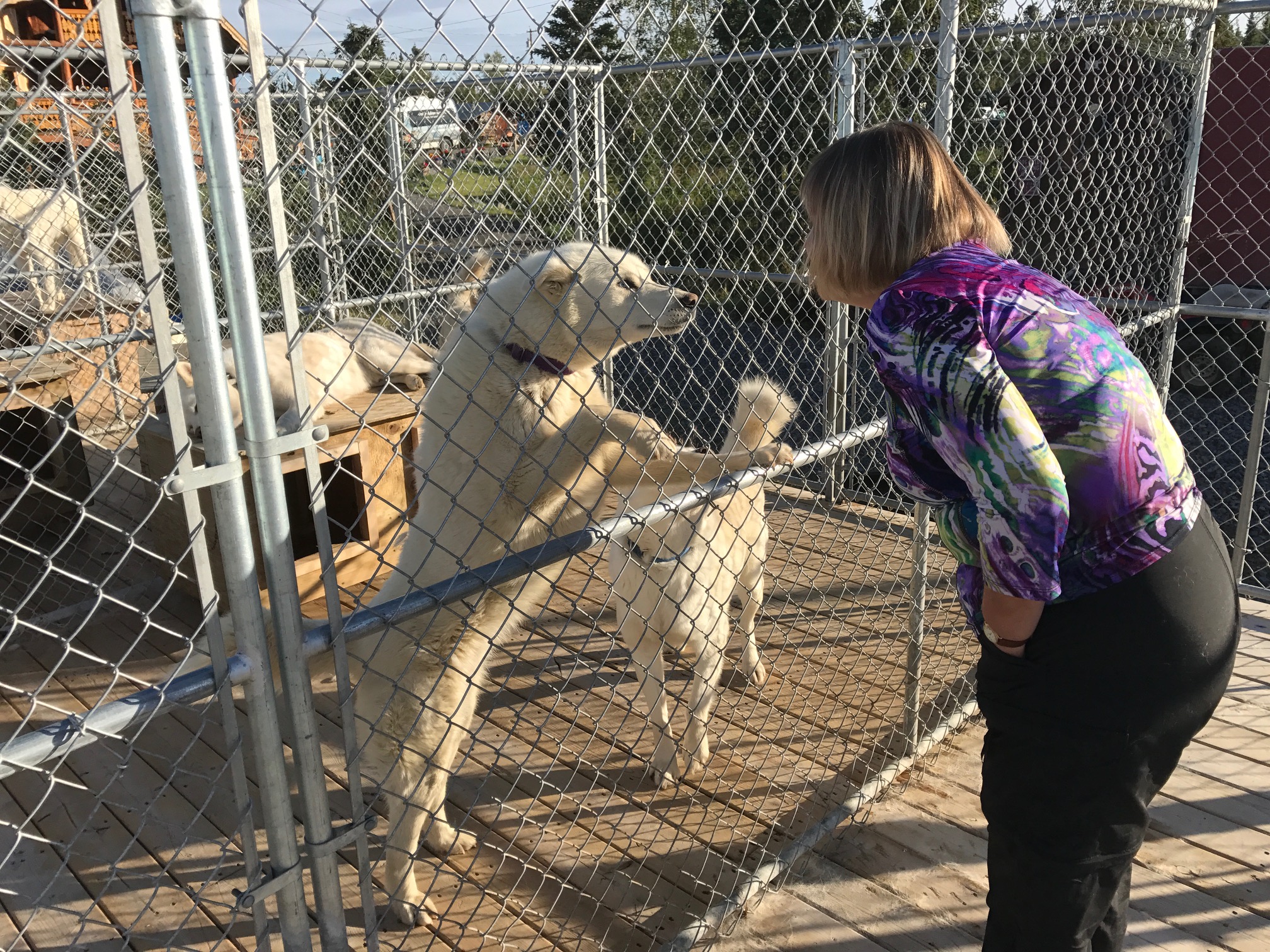
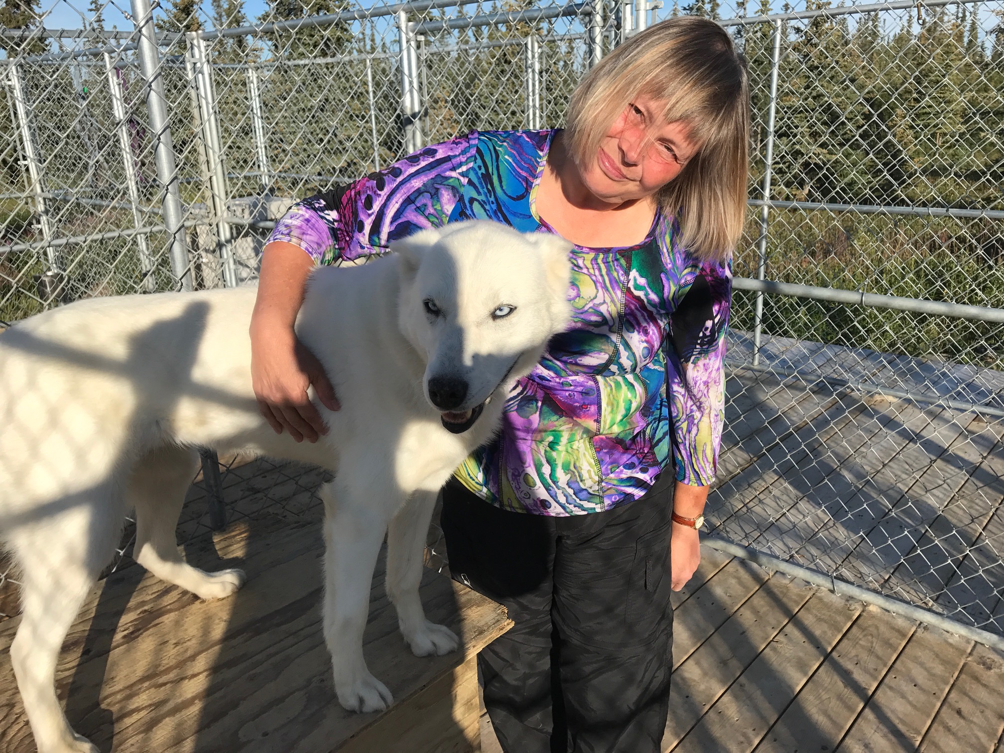
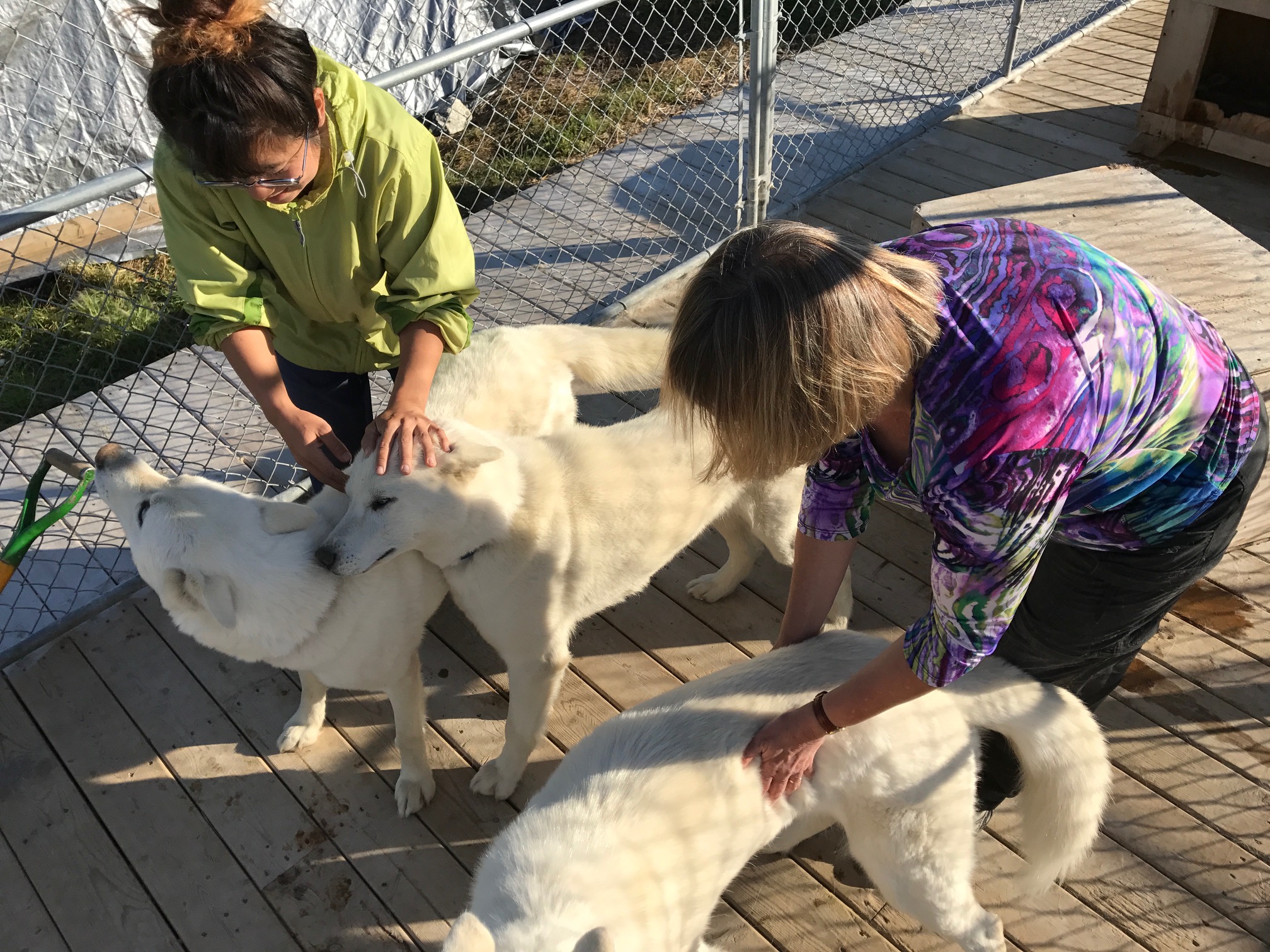
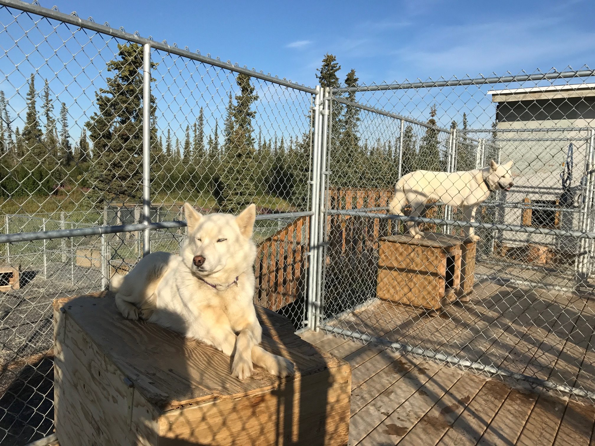
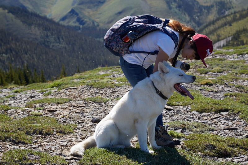
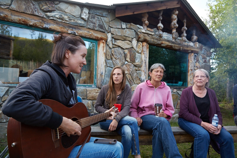
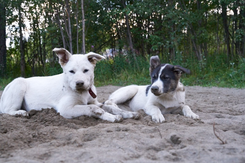
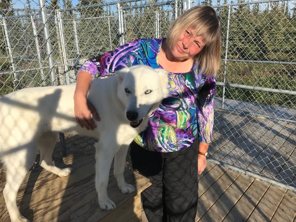
    After breakfast we spoke to Judi of Arctic Chalet Adventure Tours about whether whether our Tuktoyaktuk trip was possible today. She needed two more people to make the trip feasible and hoped it could take place today. She promised to contact us as soon as possible about our options. In the meantime we got to play with their lovely white huskies!

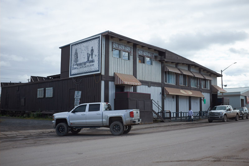
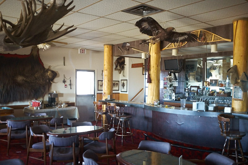
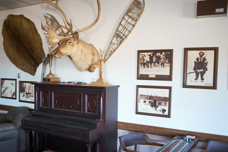
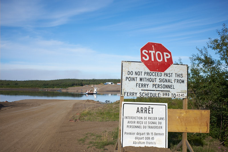
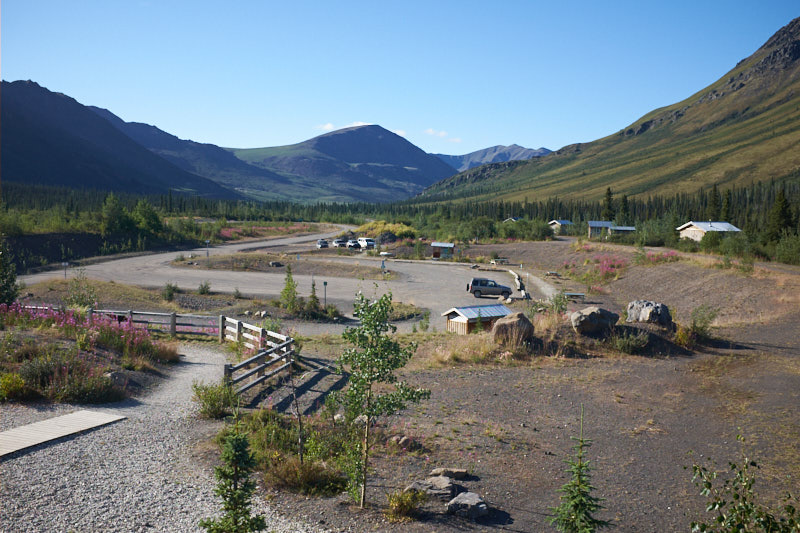
    Soon after we learned that our Tuk trip would take place at 5PM. We headed into Inuvik to take a look but found most of the businesses closed because of the holiday. We will try again tomorrow.

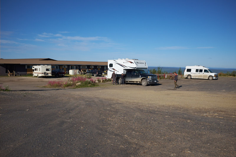
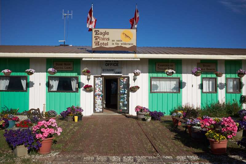
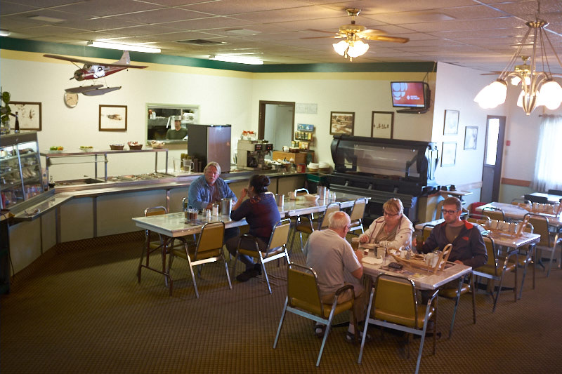
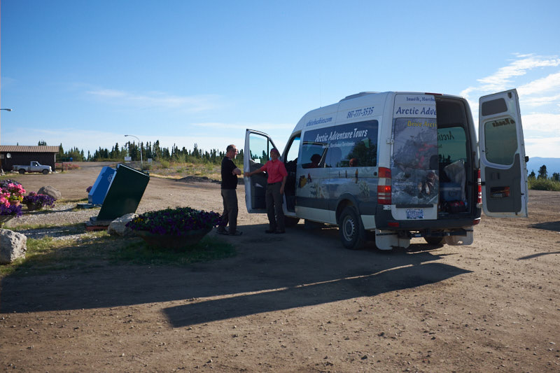
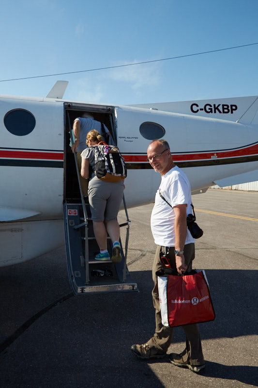
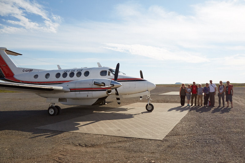
    We had a nap because this day would be long and met at the office at 4PM to head to the airport for our flight to Tuk.

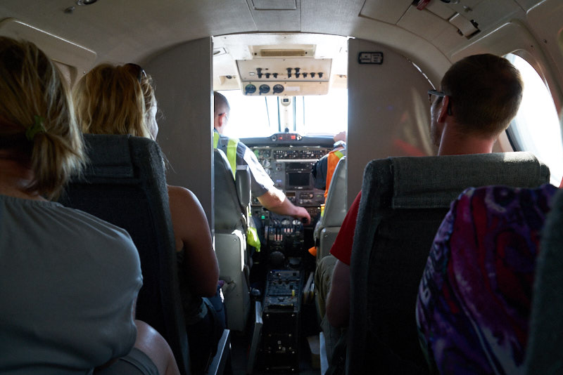
    The flight followed the Mackenzie River at about 500ft in altitude and soon we were able to see the Arctic ocean and land at Tuktoyaktuk.

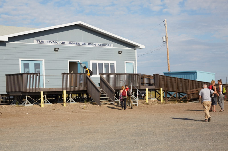
    We were greeted at the airport by Eileen, our local tour guide, who picked us up in her van, air conditioning running because of the heat wave.

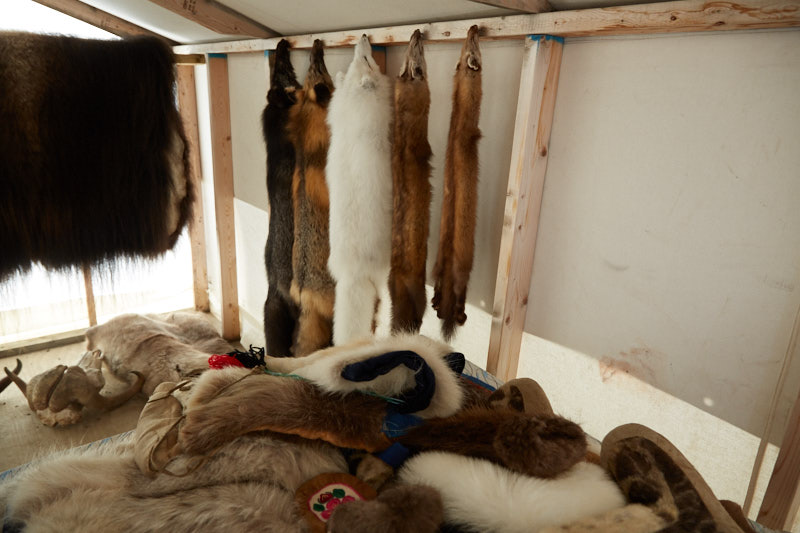
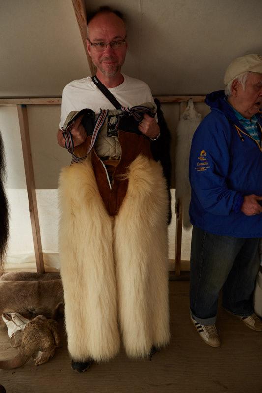
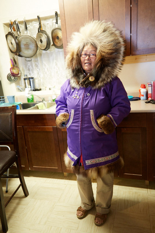
    She drove us to her house where he husband showed us various furs and clothing made from them.

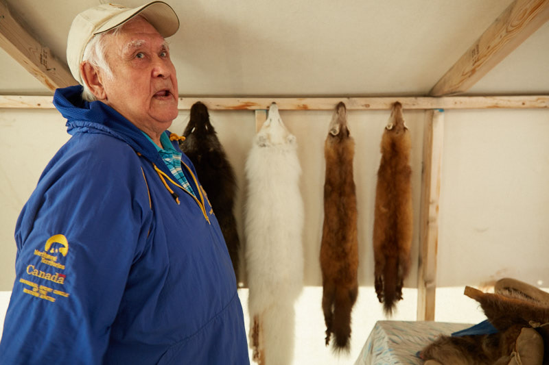
    Those Polar Bear pants look really warm!

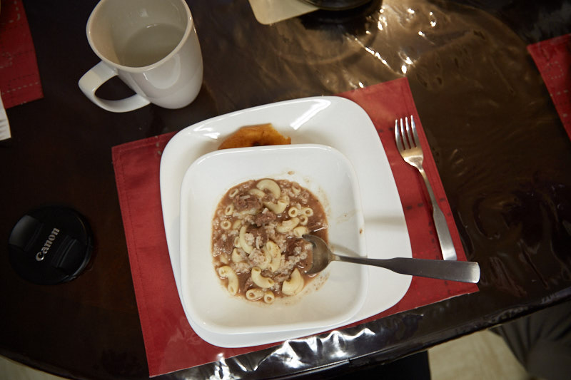
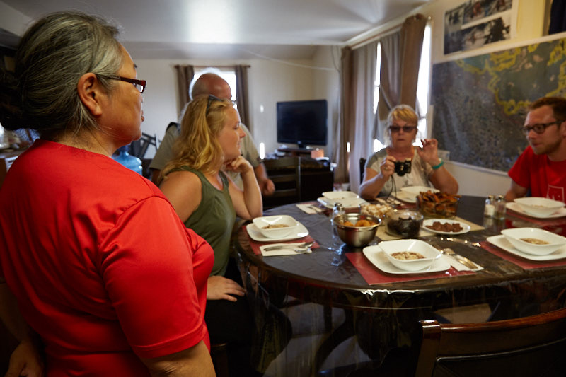
    In the meantime Eileen prepared some traditional food for us to sample. Whale, caribou soup, Muskox and smoked white fish. All delicious!

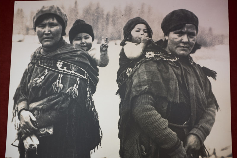
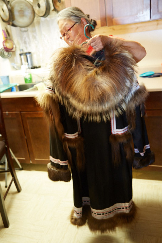
    Next she showed us some of the traditional clothing her mother made.

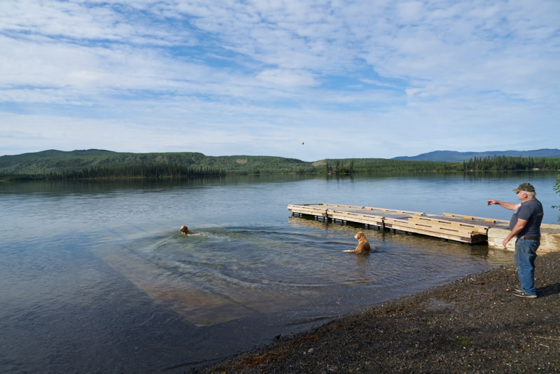
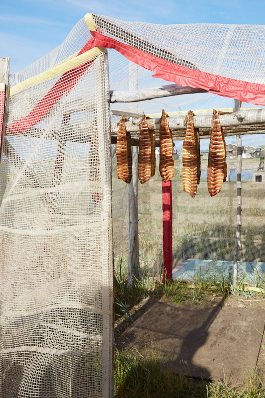
    This was followed by a visit to her smokehouse by the beach and here we had the opportunity to go for a swim in the Arctic Ocean!

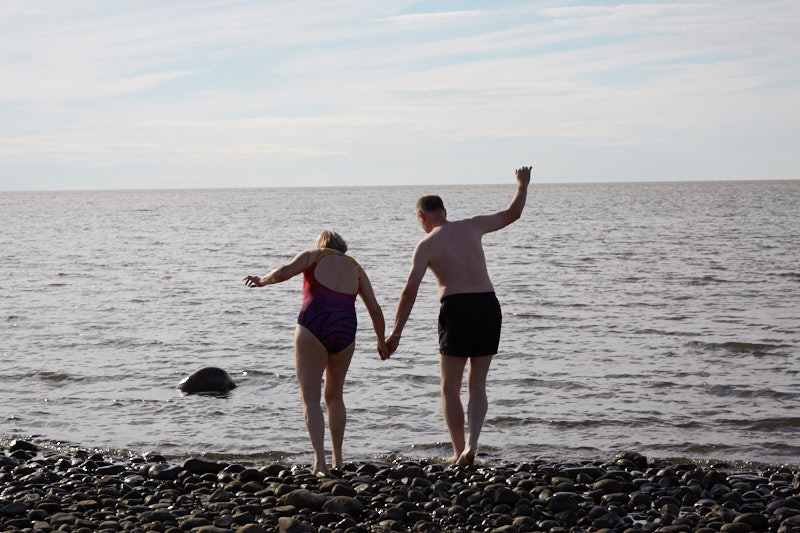
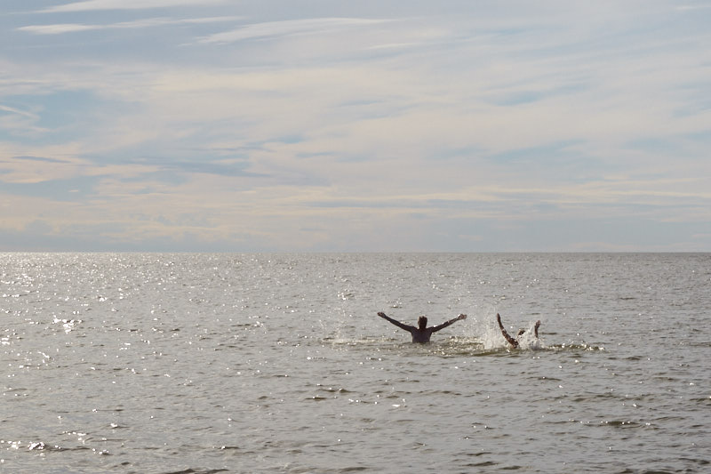
    The water was surprisingly pleasant and we had a lot of fun. One of the other tour members even went skinny dipping! We all got a certificate of achievement.

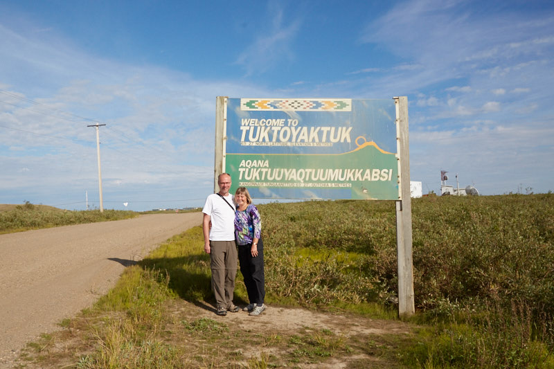
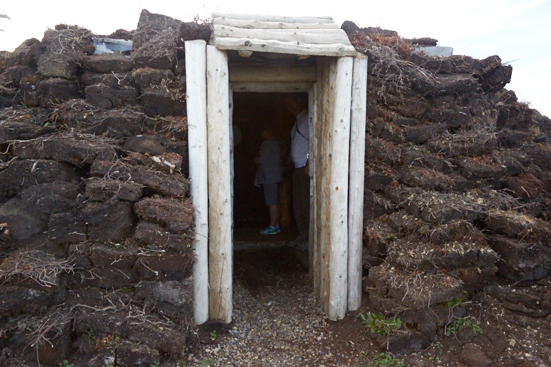
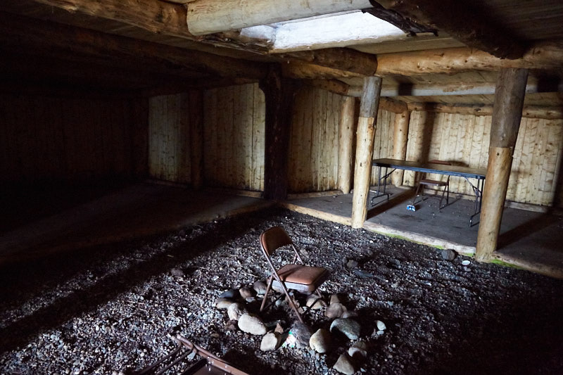
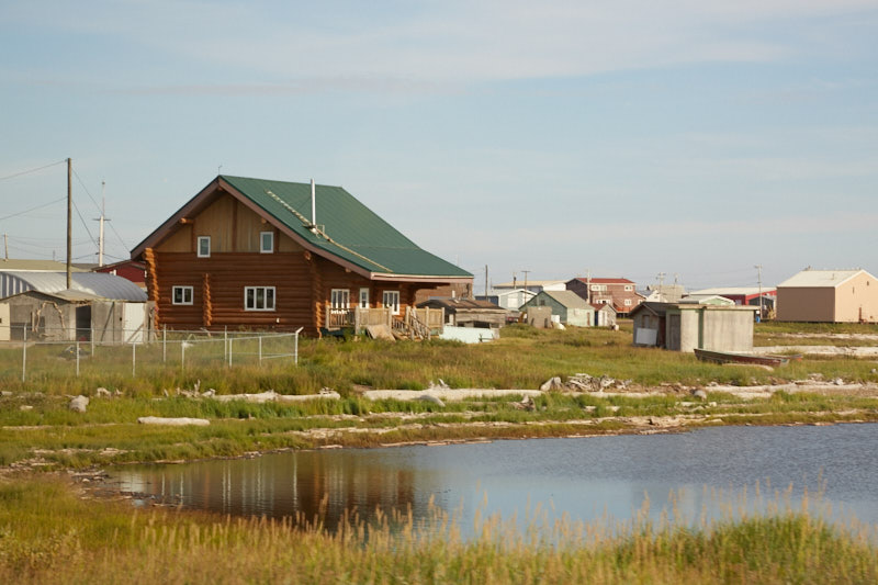
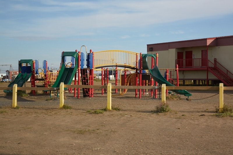
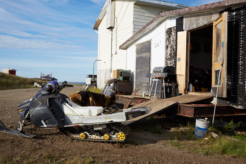
    We toured the rest of the town and learned a lot about the people who live in this community.

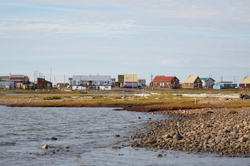
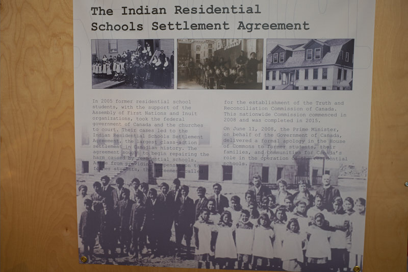
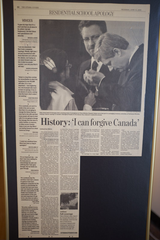
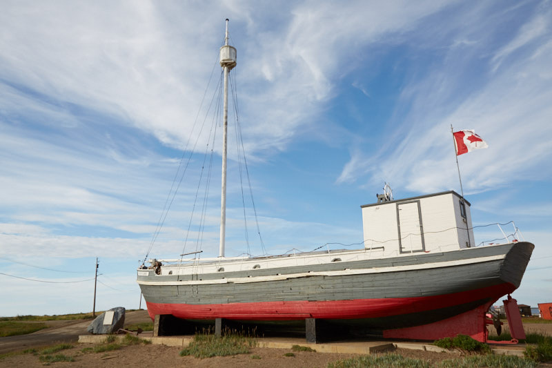
    Again the subject of the Residential Schools was prominently displayed in the form of a ship that had taken children from this community, including Eileen’s husband.

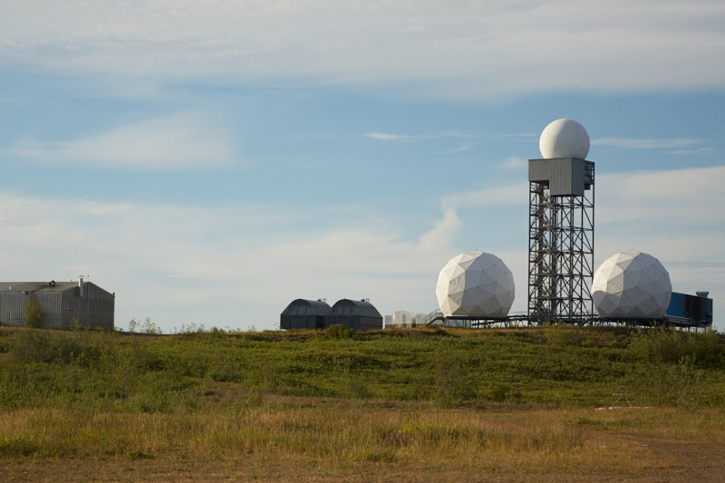
    There is a Distant Early Warning System station here that was built in the 1950s during the Cold War.

    It was time to fly back to Inuvik and enter our impressions in our blog.

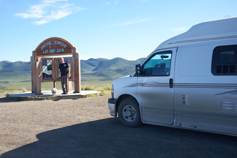
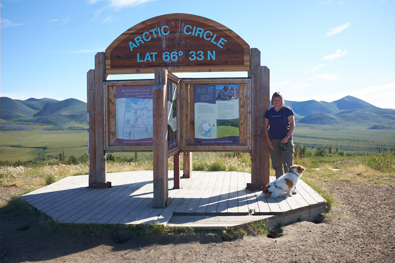
    Note: Map doesn’t show track to Tuktoyaktuk as the van GPS didn’t come with us on our flight.

  • Eagle Plains, YT to Inuvik, NWT

    If we had some doubts yesterday about continuing the second half of the highway after yesterday’s rough patches, today confirmed we made the right decision to continue.

    We left the Eagle Plains Hotel and Campground after breakfast, a long shower and filling the van with gas.

    There are three companies that run Tuktoyaktuk trips out of the Inuvik and coincidentally we ran into Judi and Olaf, the owners of Arctic Chalet and one of the trip organizers. They were heading off on a 4-6 hour hike with some staff and asked whether we wanted to join them, and we decided to do that.

    The second half of the Dempster Highway is in much better shape than the washboarded section we drove through yesterday. Apparently this is because they are short of water on the southern part and can’t run the grader through without turning everything to dust.

    Our first stop together with Judi and Olaf was at the Arctic Circle. This is the location north of which on June 21st, the sun doesn’t descend below the horizon, giving 24 hours of daylight.

    The next stop was the hiking trailhead and we packed our cameras, lunch and some water and started our hike with the guidance of Olaf and Judi. Walking through the tundra is like walking on sponges filled with water and moving beneath your feet. The ascent into the mountains was sometimes hard work but we were reward with amazing views, wild blueberries, cranberries and cloudberries. The further we hiked up the mountains, the smaller our van got in the distance. Half way up, Ruth discovered that her hiking boot soles were disintegrating and we patched them with some duct tape which worked really well. We stopped for short water breaks and a longer lunch break and enjoyed the magnificent view we earned by climbing all the way up the hills.

    This hike was pretty strenuous for the two of us and we drank lots of water and took a rest in the van before continuing our journey up the Dempster. It wasn’t much further until the crossed the Northwest Territories border.

    We drove through beautiful mountains until we descended into the Peel River area for our first ferry crossing.

    This was followed by a second ferry about 70 kms later to cross the Mackenzie River.

    The ferries basically just drive up to the shoreline and lower their ramps. Sometimes this doesn’t result in a completely flat surface and on this ferry they needed to adjust the ferry position and ramp for us to be able to get off.

    Free of any more ferries or mountains we travelled fairly quickly towards Inuvik and dodged rabbits sitting by the side of the road until we came to a stranded car. A young couple from the Czech Republic had problems with their alternator. We gave them a boost and let them drive ahead of us. It wasn’t long before we found them by the side of the road again but this time they claimed everything was fine. Turns out it wasn’t and Judi and Olaf who were behind us picked them up and took them to their chalet, cabin and campground where we were also staying. What a reunion!

  • Tombstone, YT to Eagle Plains, YT

    In the morning we truly appreciated the amazing scenery at the campground. We were surrounded by mountains on all sides, each with different geological formations. A geologist would be in heaven!

    The Tombstone Interpretive Centre not only made us a beautiful tea but pointed out a rock glacier on a nearby mountain. A rock glacier is a glacier of rocks held together by ice.

    The highway took us through some stunning scenery which changed completely every half hour or so. For the most part, the gravel highway was in very good shape and fairly smooth, but occasionally there were sections with dust, potholes and lots of washboard. We wondered whether our teeth would stay in our mouths and whether we should continue.

    We had lunch at a river surrounded by mountains and sunshine. One river on our trip was particularly colourful because of the many minerals dissolved in the water.

    Not much later we drove through many kilometers of burnt forest. We later found out that this enormous fire had taken place in June and July of this year.

    We finally made it to kilometre 369 and arrived at the Eagle Plains Hotel, Restaurant and Campground. We had dinner with Cathy, who is responsible for roads in the area, and her dog Sierra. She promised us the second half of the highway is not as challenging as the first half.

  • Dawson City, YT to Tombstone, YT

    Today we started driving towards Inuvik on the 737 kms of gravel road called the Dempster Highway. The morning began with a thorough scrubbing as we didn’t know when the next shower opportunity would arise. The van was dumped and filled with fresh water and fuel as there are very few services and fuel options on this stretch of highway. The first fuelling option is 369 km in!

    After breakfast we spent 3 hours updating our blog since we were three days behind. We stopped at the Danoja Zho Cultural Centre and learned about the Tr’ondek Hwech’in people, the original people of the Klondike River. A 14 minute video introduced their culture and language and talked about their interaction with the white people that came during the Gold Rush. One focus of the museum is the work of the Truth and Reconciliation Commission and the Residential School Program where young aboriginal youth were taken from their families and culture and forced to adapt to the culture and values of the white people, often enduring abuse in the process.

    Next up was the Dempster Highway Information Centre where we picked up our Dempster Highway Passports and enquired about further information on tours to Tuktoyaktuk. We then went to buy bear spray and a bear bell just to be safe in bear country.

    By now it was late afternoon and we had a quick chicken taco before setting off on our Dempster Highway adventure. A few kilometres into the trip we discovered a crack in the windshield.

    Our campsite for the night is at the beautiful Tombstone Mountain Yukon Government Campground, 72 km into the highway. We celebrated with a fine home cooked dinner and called it a day.

  • Keno City, YT to Dawson City, YT

    First stop this morning was the Keno Mining Museum. This is truly worth seeing and is quite extensive considering the small size of the town.

    On the way back to the Klondike Highway we stopped in Mayo and visited Binet House Interpretive Centre and had a long conversation with the lady at the museum. She turned out to be a former chief and very active in the process of achieving self-governance for her tribe. The photos on the wall depicted life in the 1900s and included images of her ancestors who had been involved in the development of her communities.

    Once back on the Klondike Highway and heading towards Dawson City, we only stopped at the Tintina Trench which extends hundreds of kilometres between Yukon and Alaska and is the largest fault in North America. The bedrock in this area has shifted a minimum of 450km laterally.

    We were soon near Dawson City and drove down Bonanza Creek Road to visit the historic Dredge No. 4, the largest wooden hulled bucket-line dredge in North America. These large machines sifted tons of gravel and rock in rivers and creeks and sifted out the gold.

    Now it was time to find a campground in Dawson City and we lucked out at the Gold Rush Campground and RV Park at 4th Avenue and York Street, conveniently located right downtown. We set out to do a walking tour of the city, picked up some groceries and then visited Diamond Tooth Gerties for a show.

    Now at 9PM, we were really hungry and headed off to the Drunken Goat, a Greek restaurant and bar for a souvlaki dinner.

    Dead tired, we fell into bed.

    Tomorrow we will head up the Dempster Highway and will be without Internet and phone service for several days. We will post blog entries as soon as we can.

  • Twin Lakes, YT to Keno City, YT

    We left our wonderful campsite telling ourselves that we would definitely stay there again.

    Our first stop today was at the remains of the Montague House, an early roadhouse on the stagecoach route between Whitehorse and Dawson City.

    We passed through Carmacks and stopped at the Tage Cho Hudan Interpretive Centre to learn about the Northern Tutchone people. Of particular interest was the coming of age custom for a girl which involved her staying in a brush camp away from her people with her mother and grandmother preparing a special hat for her to wear. She was not allowed to look out from under this hat and learned to focus, concentrate, bead and sew.

    Another ingenious tool we saw was the bear spear walking stick. This was used when a bear charged. One end was placed in the ground and the other pointy end impaled the bear when it attacked.

    It was time for an ice cream and we stopped at Coal Mine Campground and visited a snack bar with all kinds of funny signs.

    Next up was the Five Finger Rapids lookup. The Five Finger Rapids are a navigational hazard for watercraft and many early rafts flipped over trying to traverse them.

    There was lots of road construction on this section of highway and tons of dust. We stopped for gas and Ruth took this picture out of the front window.

    We turned onto the Silver Trail, Highway 11, and drove to Keno City, a small town with a population of 12 in the winter. Here we found the Keno City Hotel, a snack bar and the Keno City Mining museum. The museum was just closing but we will take the time tomorrow to see it. We asked about a tour at the nearby silver mine and were told that there were no tours available, but that there was a gold panner in town who would possibly take us to pan for gold at his claim. Behind the museum and down by the river is a campground and we parked the van and Lucien, the gold panner, drove by with his red truck. We stopped him and had a great chat about life in Keno City but unfortunately weren’t able to take him up on the gold panning offer because of the cost involved.

    We walked back up to the town for dinner at the Keno City Snack Bar and had a wonderful freshly made pizza.


    Keno City has very colourful people and we met a couple of them in the restaurant and we were told about the Art and Music festival that was in town and the campfire that was to take place that evening at Patrick’s private home.

    The town itself looks like a semi abandoned miner’s town with a bit of hippy culture and arts community. We had a really fun time talking to people and taking pictures.

  • Whitehorse, YT to Twin Lakes, YT

    Our morning began with housekeeping. A thorough tidying up was followed by a good cleaning. Everything got vacuumed, shaken out, wiped, etc. The dog got a good brushing and we both had a long shower. This was followed by a well deserved breakfast where we discussed our plans for the day. We filled up with water, dumped and said goodbye to Martin, our campground host, and his dog “Big Man” and set off for Whitehorse to visit some more museums.

    Our first museum was the Yukon Beringia Interpretive Centre. This museum concerns itself with the land bridge that existed between Siberia and Alaska at the time of the last ice age when the ocean levels were lower because of the amount of water that was frozen. The museum is modern, interactive and well worth visiting.

    The next stop was next door at the Yukon Transportation museum. Martin had to take a picture of the world’s largest weathervane – an iconic DC-3 airplane! This particular aircraft was built in 1942 and spent much of its working life in the Yukon.

    In the museum we listened to a talk by Michael Gates, the curator of a museum in Dawson City and a well known author who writes about Yukon history. In his talk and reading he focused on a hike on a historic trail.

    The museum included displays of three different canoes – sealskin, birch bark and dugout, typical for natives in various areas of the Yukon. We also saw various vintage vehicles, trains, a replica of the Queen of the Yukon aircraft and various photographs.

    The last museum before departing Whitehorse was the Copperbelt Railway and Mining Museum. This unfortunately was a bit of a disappointment as none of the staff seemed to have any idea of what the museum was even about. We did ride a small train for two kilometers, mostly in silence save for the diesel engine noise since the audio system did not work.

    We left the Alaska Highway and are now heading up the Klondike Highway towards Dawson City.

    Those of you who have been following will be aware that we stop at any and all cinnamon bun cafes. Today we stopped at the Braeburn Lodge which is one of the stops on the 1,000 mile Yukon Quest International Sled Dog Race. They also have HUGE cinnamon buns that will feed 4 people! Well, we proved them wrong and split one between the two of us. It did mean no dinner tonight.

    Thirty Kilometers down the road we stopped at the Twin Lakes Yukon Government campground and chose a site and went for a swim in one of the twin lakes. The water was not quite as cold as the North Sea in Denmark had been. This was not enough, and we decided not to forgo the opportunity to take out kayak out for a ride. What a treat! Beautiful warm evening sunshine, calm clear waters and a gentle breeze.

  • Whitehorse, YT

    The scones from Johnston’s Crossing were great!

    We drove to Integra Tire to get our valve stem replaced again with one compatible with the tire pressure monitoring system. This was done quickly while we waited. We met a German couple who had rented a car in Vancouver and had driven it up the Dempster Highway with four kayaks on the roof. On the way they had shredded two tires and possibly wrecked a wheel bearing. We’re sure the rental car company is eager to get their car back before it gets trashed anymore. The nerve of some people.

    The rest of the day was spent touring Whitehorse. We started at the Visitor Reception Centre where we got our Yukon passports stamped and lots more information on the Dempster Highway trip and options to get to Tuktoyaktuk. An extension of the Dempster from Inuvik to Tuktoyaktuk is set to open in September but unfortunately won’t be done before we get there. There are options to fly and do a day trip. Hopefully this will work out for us.

    We visited the White Pass and Yukon Route Depot, the Whitehorse end of the former narrow gauge railway that ran to Skagway and dates back to the Gold Rush time. These days one can take a tour by bus to Fraser, BC and then the train to Skagway.

    After this we visited the MacBride Museum of Yukon History. Here we learned about some of the colourful characters that were part of the Yukon’s history, saw some more animals, beautiful native craftsmanship, and really enjoyed a special photographic exhibit on the the building of the Alaska Highway which celebrates its 75th anniversary this year.

    Tired from walking we enjoyed a rest at a local coffee shop, sitting outside in the warm sun.

    On our way back to our campground we briefly visited the S.S. Klondike, a stern wheeler that had transported goods and passengers along the Yukon River between 1937 and 1955. The S.S. Klondike was restored in 2005 and is now a museum.